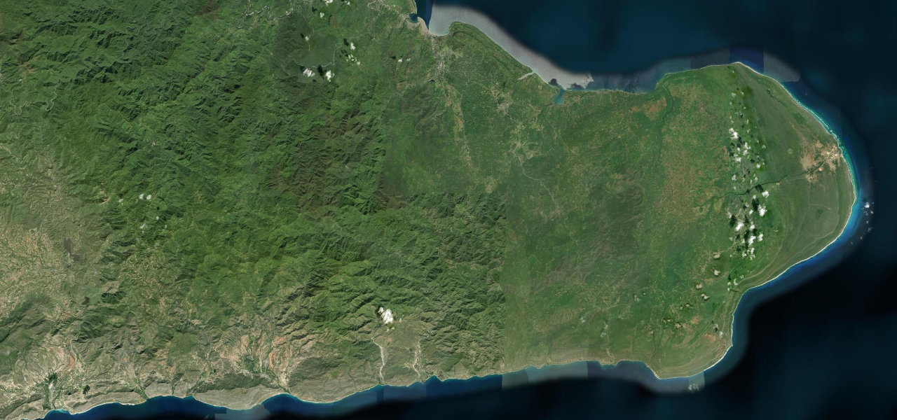
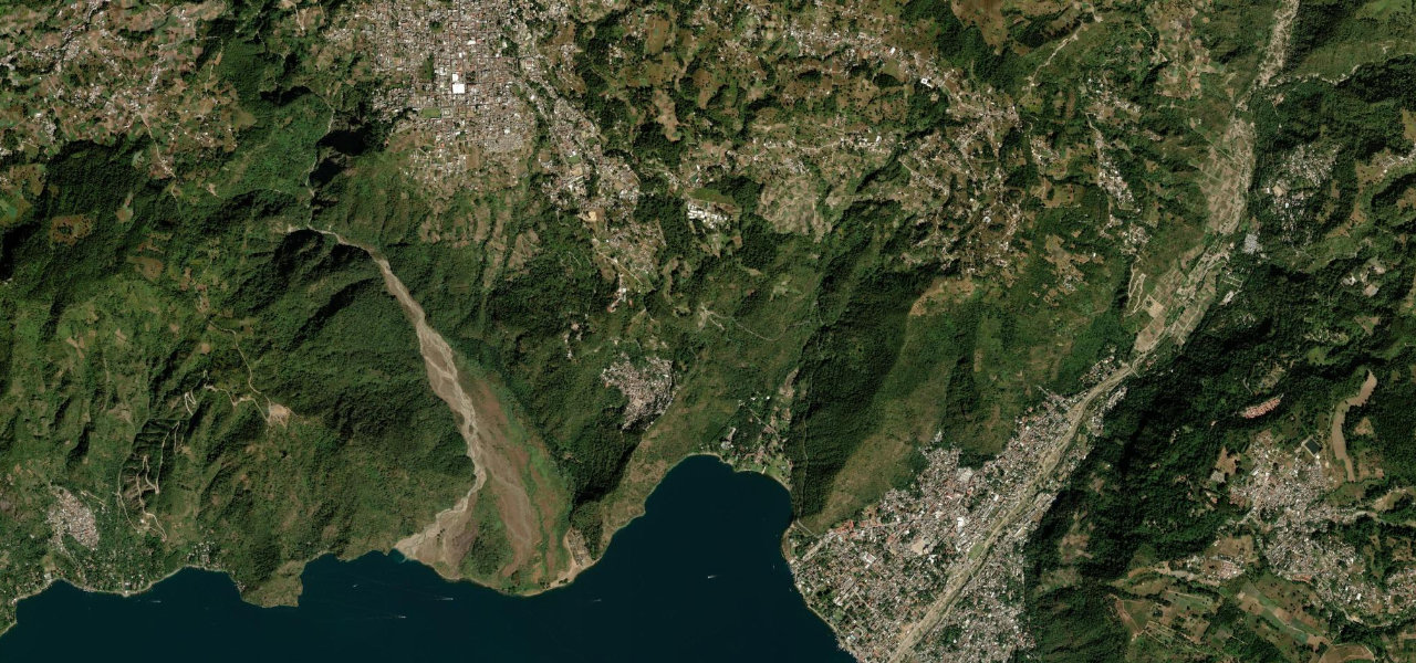
Guantánamo Province · Cuba
La Farola
La FarolaCajobabo to Baracoa
Distance30.5 mi49 km
Drive time1 h 4 minon the road
DifficultyModeratetightness 6 of 10
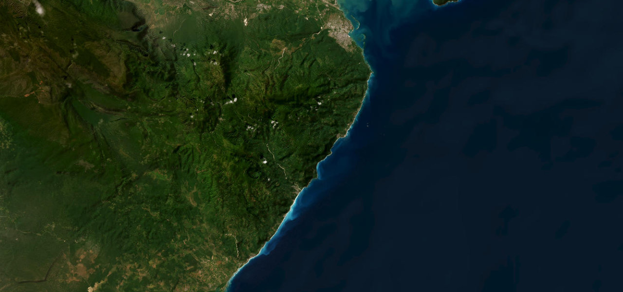
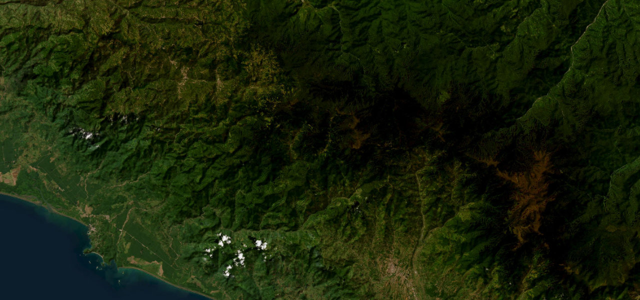
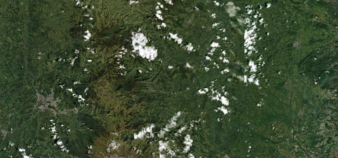
Cuba’s most dramatic road, a 1965 engineering marvel that finally connected isolated Baracoa to the island, climbing through tropical forest and crossing eleven bridges over the Cuchillas de Baracoa.
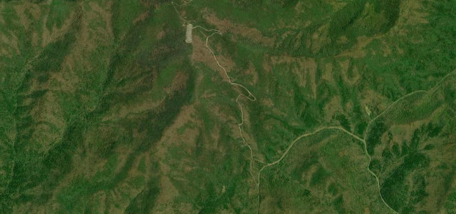
From coastal Cajobabo the road assaults the Sagua-Baracoa range; the Viaducto de La Farola, drilled into the rock face, rises on pillars above the jungle canopy. The road winds through tight switchbacks past fruit vendors and Caribbean viewpoints before descending to the bay city of Baracoa, Cuba’s oldest.
Scenery
MountainCoastForest
Where it runs
CajobaboStart · Guantánamo Province
BaracoaEnd · Guantánamo Province
Navigate to the start: Apple Maps · Google Maps
Character
Corners147bends
Tightness6of 10
Max gradient13%≈ 1-in-8
Hairpins1tight bends
Climb622 mtotal ascent
Summit529 mhighest point of the line · 1,736 ft
Elevation
under 4%4–8%over 8%6 – 529 mHazards
- tight switchbacks
- 40 km/h limit through curves
- landslide risk after heavy rain
- slow trucks on gradients
Sources: Road geometry © OpenStreetMap contributors
Nearby roads
The closest great drives to La Farola.
La Farola
Directions