Tolima / Caldas · Colombia
Alto de Letras
RN50Mariquita to Manizales
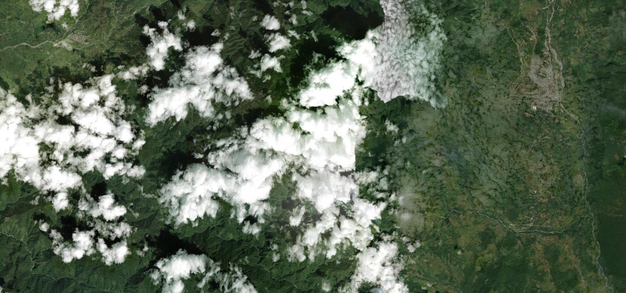
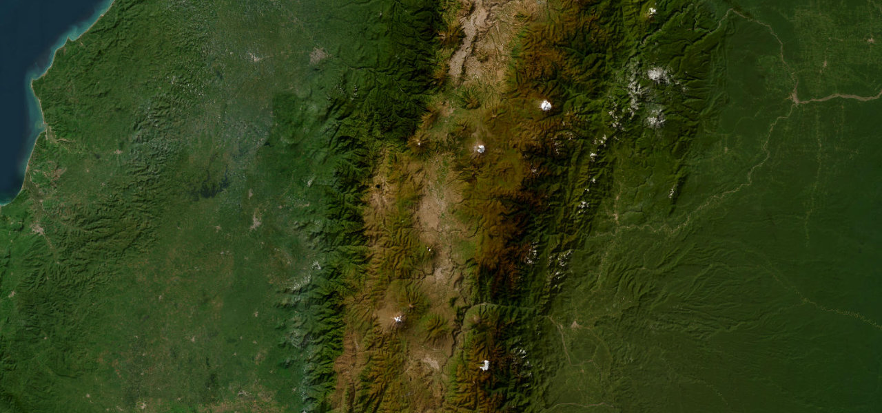
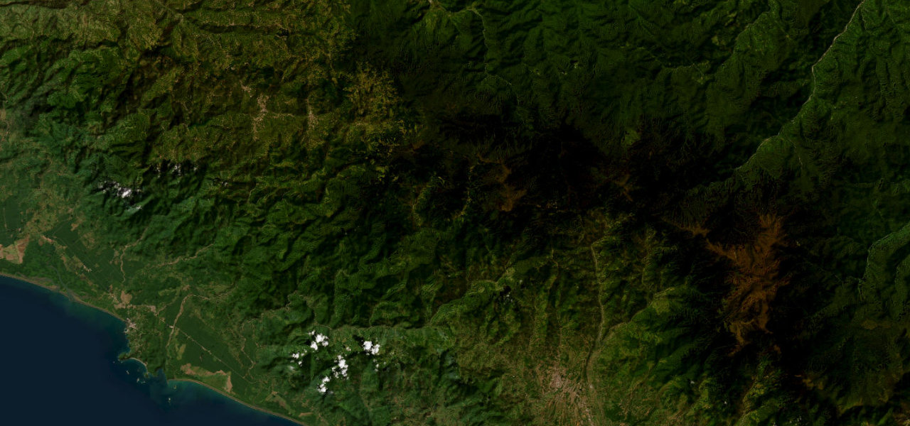
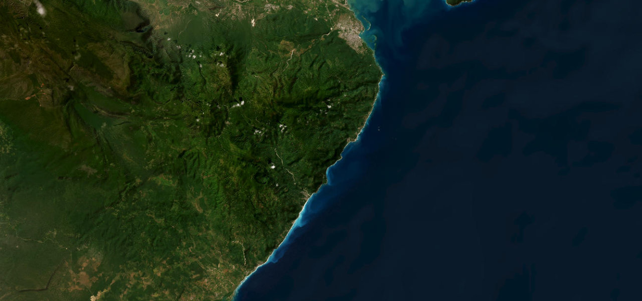
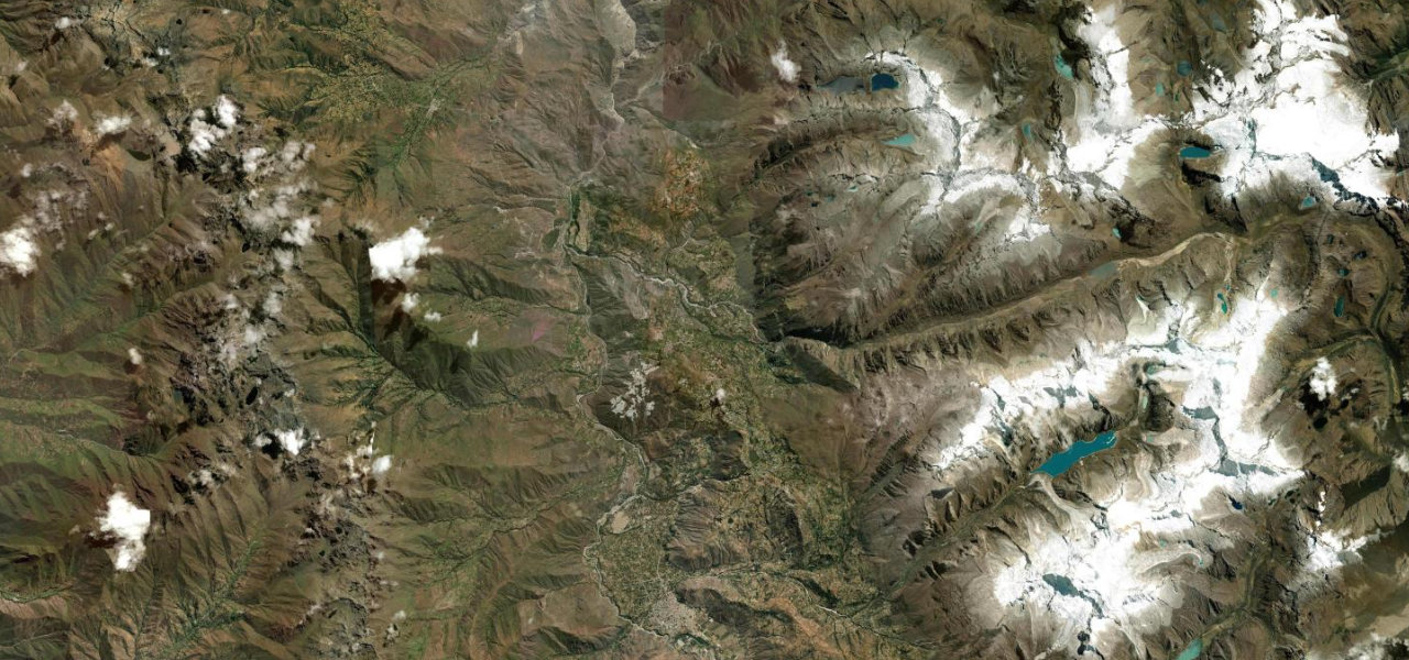
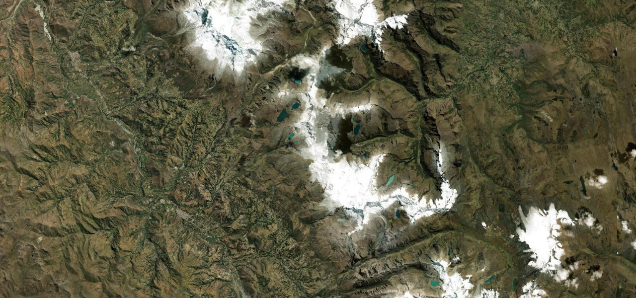
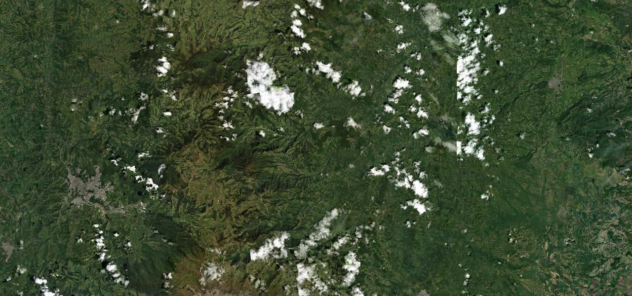
One of the longest continuously paved road climbs on earth: 81 km rising from Mariquita at 468 m to the 3,692 m páramo pass before descending into Manizales, through five distinct ecosystems.
From Mariquita, Ruta 50 lifts into the Cordillera Central, averaging 4% but touching 12% above Herveo. The landscape shifts from tropical farmland through coffee terraces and cloud forest to wind-scoured páramo near the pass, with views toward the Nevado del Ruiz volcano, before the long descent into the coffee capital of Manizales.
Scenery
Where it runs
Navigate to the start: Apple Maps · Google Maps
Character
Higher than 9 in 10 roads in the catalogue.
Elevation
under 4%4–8%over 8%485 – 3,669 mHazards
- extreme altitude gain
- altitude sickness
- heavy truck traffic
- potholed sections
- rapidly changing weather near the summit
Sources: Road geometry © OpenStreetMap contributors
Nearby roads
The closest great drives to Alto de Letras.