
 Country guide
Driving roads in Colombia
All 2 hand-picked driving roads in Colombia on one interactive map, every one traced from real geometry and fact-checked, including 1 world icon.
Roads21 world icon
Combined119 mi192 km of driving
High point3,688 m12,100 ft
The roads
Collections featuring Colombia
Guides for this region
Nearby countries

 Ecuador
 Costa Rica
 Peru
PeruDriving in Colombia: common questions
What is the best driving road in Colombia?
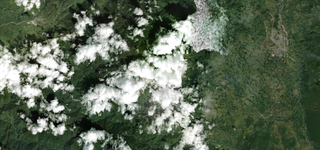
Trampolín de la Muerte is the place to start. Colombia’s most notorious road snakes 75 km through cloud forest between San Francisco and Mocoa on a single-lane gravel shelf carved into vertiginous cliffs, named for the many fatal accidents along its edge.
How many great driving roads does Colombia have?
2 hand-picked and fact-checked roads, including 1 world icon, 119 miles of driving in all, every one mapped from real road geometry.
When is the best time to drive in Colombia?
Most of the roads here are at their best in summer and winter.
What is the highest road in Colombia?
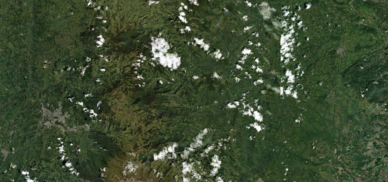
Alto de Letras is the highest, climbing to about 3,688 m (12,100 ft).