
 Country guide
Driving roads in Ecuador
All 1 hand-picked driving road in Ecuador on one interactive map, every one traced from real geometry and fact-checked.
Roads1hand-picked
Combined113 mi182 km of driving
High point3,605 m11,827 ft
The roads
Collections featuring Ecuador
Guides for this region
Nearby countries

 Colombia
 Peru
Peru
 Costa Rica
Driving in Ecuador: common questions
What is the best driving road in Ecuador?
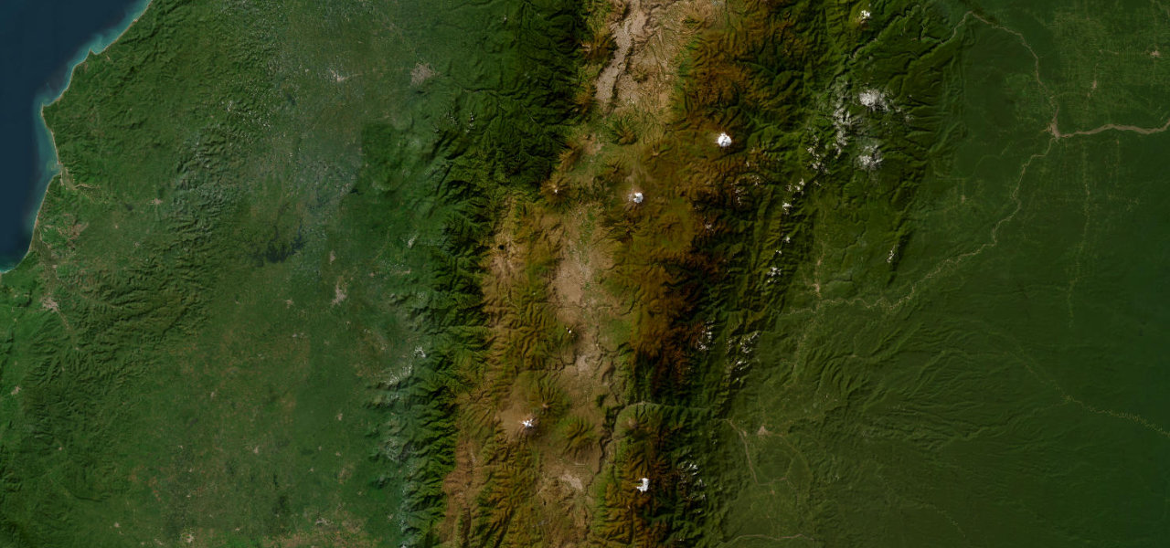
Avenue of the Volcanoes is the place to start. Named by Humboldt in 1802, the 200 km Inter-Andean corridor between Quito and Riobamba is flanked by unbroken chains of snow-capped volcanoes, more major peaks from one road than almost anywhere on earth.
How many great driving roads does Ecuador have?
1 hand-picked and fact-checked road, 113 miles of driving in all, every one mapped from real road geometry.
When is the best time to drive in Ecuador?
Most of the roads here are at their best in summer and autumn. Several of the higher routes close over winter, so check the season before a cold-weather trip.
What is the highest road in Ecuador?
Avenue of the Volcanoes is the highest, climbing to about 3,605 m (11,827 ft).