Cotopaxi · Ecuador
Quilotoa Crater Road (Latacunga to Quilotoa)
E30Latacunga to Quilotoa
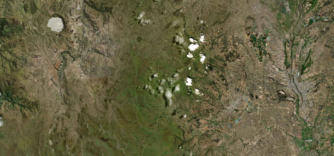
The paved way to Quilotoa climbs from Latacunga over the páramo past Pujilí, Tigua and Zumbahua, then runs north on a sealed road to the rim of the crater lake at about 3,850 m.
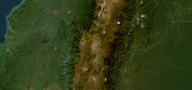
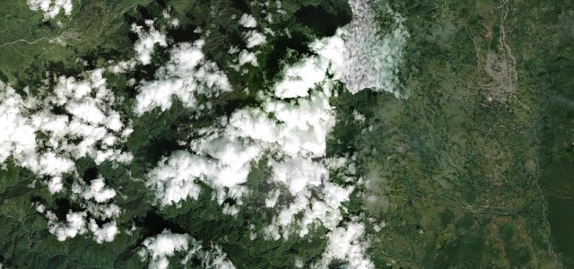
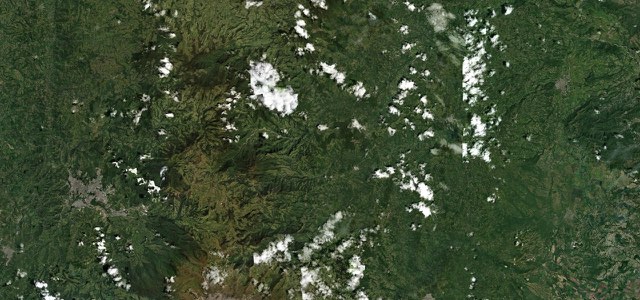
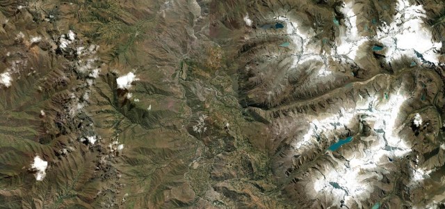
From Latacunga the E30 heads west along Avenida 5 de Junio, bypasses Pujilí and climbs onto the páramo, rising above 3,900 m before it drops to Tigua. Tigua is known for its painters’ galleries, and Zumbahua, the next village, holds one of the most colourful Saturday markets in the sierra. At Zumbahua the Quilotoa road leaves the E30 and runs about 10 km north on asphalt to the village on the rim of the crater. The lake below is around 250 m deep, and the paved road ends at the rim viewpoints. The rest of the Quilotoa Loop, on to Chugchilán and Sigchos, is not part of this entry.
Scenery
Best seasons
In these collections
In these guides
Quilotoa Crater Road (Latacunga to Quilotoa) on the map46.7 mi · point to point
Navigate to the start: Apple Maps · Google Maps
Character
Higher than 9 in 10 roads in the catalogue.
Corners
busiest around mile 37Elevation
under 4%4 to 8%over 8%2,771 to 4,008 mPoints of interest4 stops
- Condor Enamorado, TiguaCafé beside the Tigua galleries.32 mi in
- Galería Arte Milenario TiguaOne of the Tigua art galleries, in the community where a painting tradition grew up.32 mi in
- ZumbahuaVillage with a Saturday market, and the turn-off for the crater.37 mi in
- Mirador QuilotoaRim viewpoint over the emerald crater lake.47 mi in
Hazards
- Altitude, with the road above 3,000 m and very cold nights at Quilotoa
- Fog at the crater rim
- Ground movement and a gravel diversion on the E30 just beyond Zumbahua
- Few fuel stations, at Zumbahua and Sigchos
Sources
“The Quilotoa Loop is one of the best short motorcycle rides in Ecuador and one of the easiest ways to pack a serious amount of the Andes into just two days.”
“From the town of Isinliví, we avoided the mostly paved route to the Quilotoa Crater and opted for a more adventurous back route.”
“It’s most directly approached along the road from Latacunga to Quevedo, via the villages of Pujilí, Tigua and Zumbahua.”
Route traced from OpenStreetMap, with its stats measured from that line. How the roads are mapped
Driving the Quilotoa Crater Road (Latacunga to Quilotoa): quick answers
How long does it take to drive the Quilotoa Crater Road (Latacunga to Quilotoa)?
How difficult is the Quilotoa Crater Road (Latacunga to Quilotoa) to drive?
When is the best time to drive the Quilotoa Crater Road (Latacunga to Quilotoa)?
Nearby roads
The closest great drives to Quilotoa Crater Road (Latacunga to Quilotoa).