Santander · Colombia
Chicamocha Canyon Road
Ruta 45ASan Gil to Piedecuesta
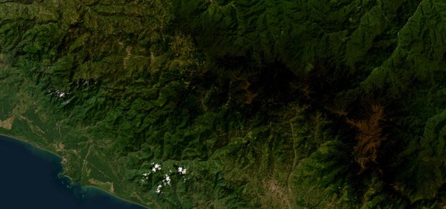
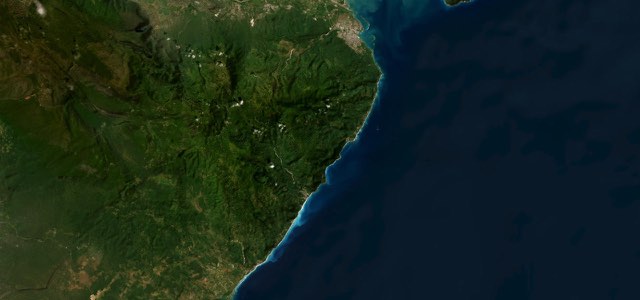
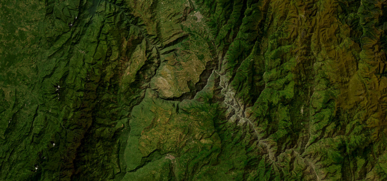
Ruta 45A climbs out of San Gil to Aratoca, drops about 1,400 m to the Chicamocha River at Pescadero and climbs out again, past canyon viewpoints and the Panachi park, on the way to Bucaramanga.
From San Gil the 45A heads north-east past the Curití toll, then climbs to the high ground around Aratoca, which MotoDreamer puts at 1,702 m after a 30 km climb. Beyond Aratoca the road reaches the rim of the Chicamocha Canyon, where free roadside miradores and the Panachi park, with its 6.3 km cable car across the gorge, sit above the river. It then switchbacks down to the Pescadero bridge over the Chicamocha, the low point of the drive at roughly 550 m, and passes the Los Curos toll. The climb out the far side tops out at about 1,300 m before the road runs down to Piedecuesta, from where the Autopista Piedecuesta continues to Bucaramanga. Trucks use the same road and there are few places to overtake.
Scenery
Best seasons
In these collections
In these guides
Chicamocha Canyon Road on the map48.8 mi · point to point
Navigate to the start: Apple Maps · Google Maps
Character
Corners
busiest around mile 29Elevation
under 4%4 to 8%over 8%541 to 1,958 mPoints of interest5 stops
- AratocaTown on the high ground before the canyon, 1,702 m above sea level according to MotoDreamer.18 mi in
- Restaurante Cañón del ChicamochaRoadside restaurant on the approach to the canyon.22 mi in
- Mirador del ChicamochaRestaurant at one of the canyon miradores beside the road.25 mi in
- Parque Nacional del Chicamocha (Panachi)Paid tourist park on the canyon rim with the 6.3 km cable car across the gorge.26 mi in
- PescaderoHamlet at the bridge over the Chicamocha, the lowest point on the road.34 mi in
Hazards
- Single-lane traffic control at Pescadero, km 53, while the slope is stabilised
- Heavy truck traffic and few places to overtake
- Long steep descents and climbs to the river
- Tolls at Curití and Los Curos
- Landslides and river erosion can restrict the road
Sources
“The toll road is pretty challenging, with steep parts and countless turns.”
“rejoin the highway north that winds through the magnificent Chicamocha Canyon before emerging at the friendly modern city of Bucaramanga.”
“San Gil has a reputation as Colombia’s adventure sports capital. But perhaps the best adventure it has to offer is the 100km Route 45A to Bucaramanga.”
Route traced from OpenStreetMap, with its stats measured from that line. How the roads are mapped
Driving the Chicamocha Canyon Road: quick answers
How long does it take to drive the Chicamocha Canyon Road?
How difficult is the Chicamocha Canyon Road to drive?
When is the best time to drive the Chicamocha Canyon Road?
Nearby roads
The closest great drives to Chicamocha Canyon Road.