La Paz Department · Bolivia
La Cumbre to Coroico
Ruta 3La Paz to Coroico
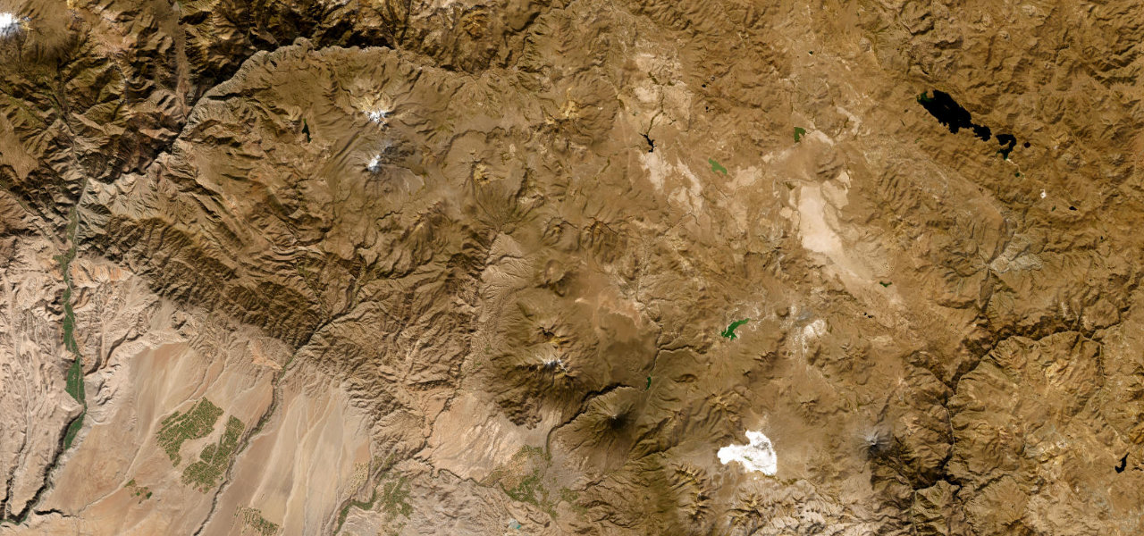
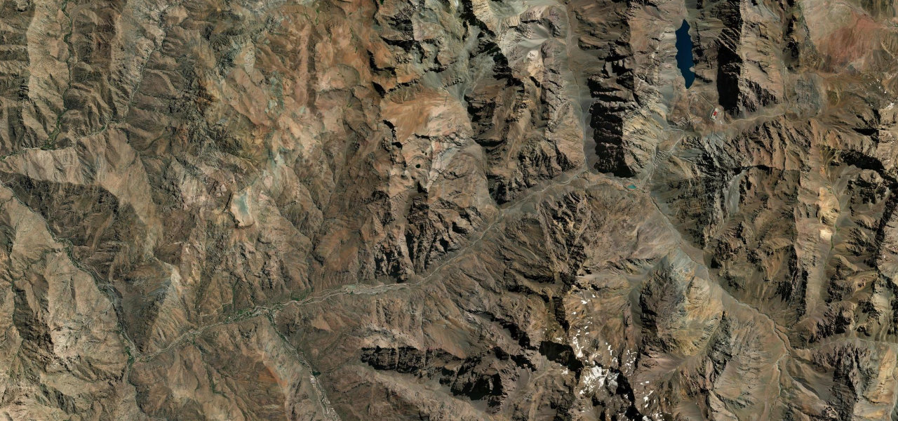
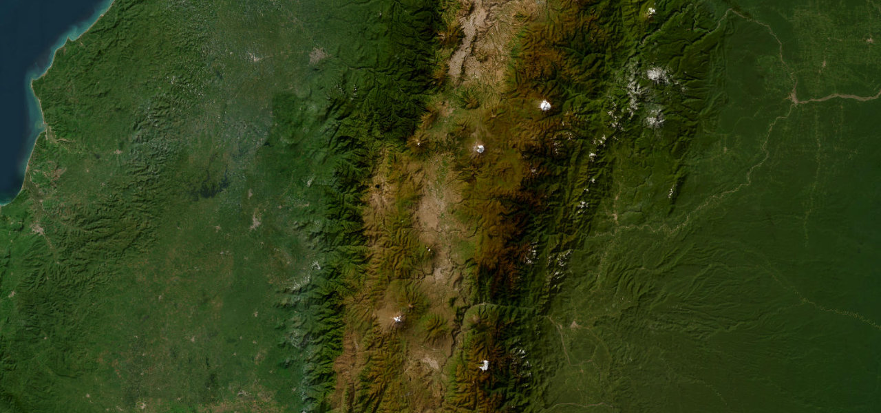
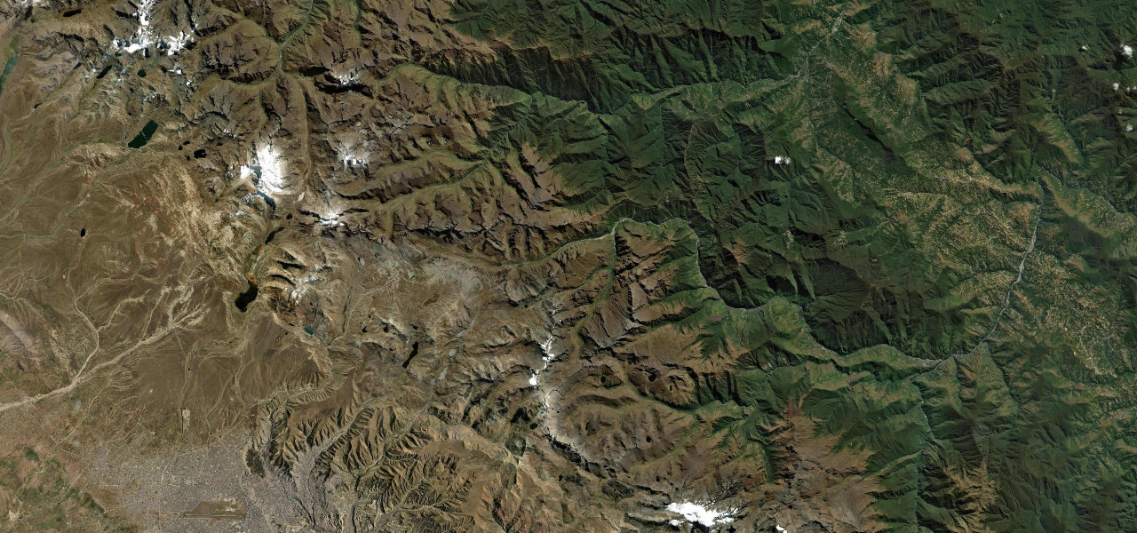
Bolivia’s paved Ruta 3 climbs from La Paz over La Cumbre at 4,650 m then plunges 3,450 m through every Andean climate zone, from altiplano to subtropical cloud forest, to the colonial town of Coroico in the Yungas.
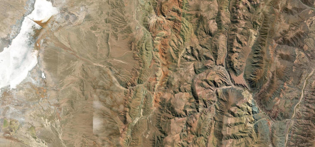
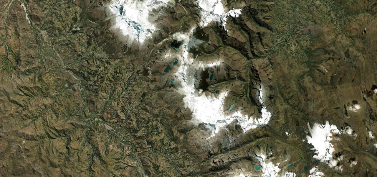
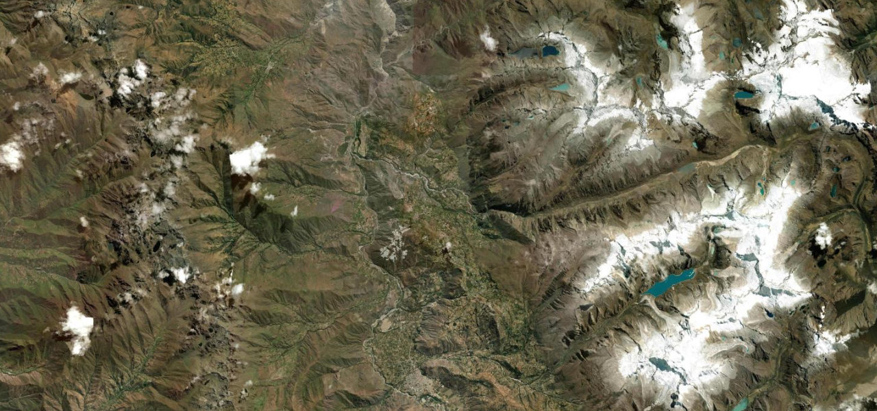
Leaving La Paz via Villa Fátima, the paved Ruta 3 climbs into the Cordillera Real to La Cumbre (4,650 m) amid snow peaks and high lakes. The descent to Coroico is one of the most dramatic altitude transitions on earth, 3,450 m lost over roughly 70 km through Cotapata National Park as altiplano scrub gives way to cloud forest and warm jungle. The old unpaved 'Death Road' runs parallel as a cycling track; this is the active paved highway that replaced it in 2006.
Scenery
Where it runs
Navigate to the start: Apple Maps · Google Maps
Character
Higher than 9 in 10 roads in the catalogue.
Elevation
under 4%4–8%over 8%1,191 – 4,654 mHazards
- altitude sickness at La Cumbre (4,650 m)
- steep gradients on the descent
- landslides in the rainy season
- fog in the upper sections
Sources: Road geometry © OpenStreetMap contributors
Nearby roads
The closest great drives to La Cumbre to Coroico.