Valparaíso · Chile
Los Caracoles
CH-60Río Blanco to Túnel Cristo Redentor
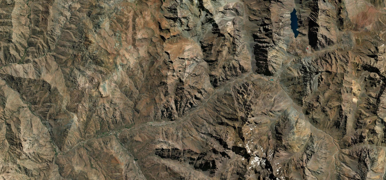
Chile’s most dramatic Andean pass road: back-to-back hairpin switchbacks carved into a near-vertical canyon wall, climbing from the Aconcagua valley to the Cristo Redentor tunnel.
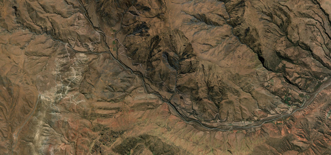
From Río Blanco, Ruta 60 enters the upper Aconcagua canyon and begins its assault on the Andes. The valley narrows and the road starts its relentless series of hairpin turns, Los Caracoles, climbing toward the Cristo Redentor tunnel at around 3,200 m and the Argentine border. Best driven ascending for the full switchback experience.
South America’s most famous mountain crossing, a stack of switchbacks clawing up a near-vertical Andean canyon to the Cristo Redentor tunnel on the Chile to Argentina border.
Why we picked it
Scenery
Best seasons
In these collections
In these guides
Los Caracoles on the map25.6 mi · point to point
Navigate to the start: Apple Maps · Google Maps
Character
Higher than 9 in 10 roads in the catalogue.
Corners
busiest around mile 16Elevation
under 4%4–8%over 8%1,278 – 3,236.3 mPoints of interest3 stops
- Salto del SoldadoViewpoint0.2 mi in
- Mirador Los CaracolesViewpoint18 mi in
- Laguna del Inca – PortilloViewpoint22 mi in
Hazards
- Tight hairpin switchbacks
- Snow and ice in winter
- Rockfall
- Heavy commercial traffic
- Seasonal border closures
See the typical season and live conditions for the high passes ›
Sources
“A slalom with dizzy curves for wonderful memories and great sensations.”
Verified route: mapped from real road geometry and fact-checked by a human editor. How roads get checked
Driving the Los Caracoles: quick answers
How long does it take to drive the Los Caracoles?
How difficult is the Los Caracoles to drive?
When is the best time to drive the Los Caracoles?
Nearby roads
The closest great drives to Los Caracoles.