
 Country guide
Driving roads in Brazil
All 1 hand-picked driving road in Brazil on one interactive map, every one traced from real geometry and fact-checked, including 1 world icon.
Roads11 world icon
Combined5 mi8 km of driving
High point1,409 m4,623 ft
The roads
Collections featuring Brazil
Nearby countries

 Argentina
 Bolivia
 Chile
ChileDriving in Brazil: common questions
What is the best driving road in Brazil?
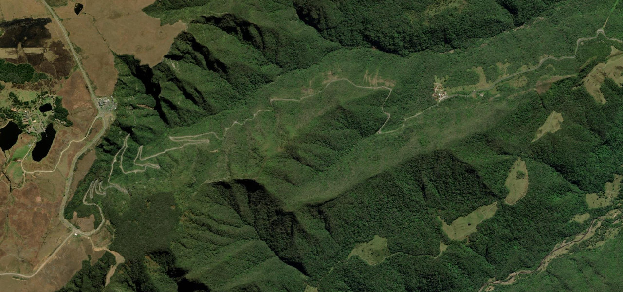
Serra do Rio do Rastro is the place to start. Brazil’s most celebrated driving road: a wall of stacked hairpin bends scaling the Serra Geral escarpment through Atlantic Forest, rising 944 m from the coastal plain to the high plateau, the country’s answer to the Stelvio.
How many great driving roads does Brazil have?
1 hand-picked and fact-checked road, including 1 world icon, 5 miles of driving in all, every one mapped from real road geometry.
When is the best time to drive in Brazil?
Most of the roads here are at their best in spring and summer. Several of the higher routes close over winter, so check the season before a cold-weather trip.