Rio de Janeiro · Brazil
Rio-Santos Highway: Angra dos Reis to Paraty
BR-101Angra dos Reis to Paraty
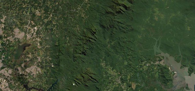
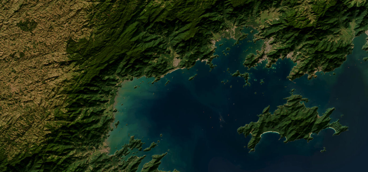
The Costa Verde stretch of the BR-101 runs 93 km from Angra dos Reis through Bracuí, Frade and Mambucaba to Paraty, with the Serra do Mar on one side and dozens of islands off the other.
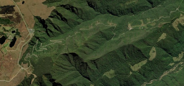
From the BR-101 at Angra dos Reis the highway swings north through Japuíba and Pontal, then turns west past Bracuí and Frade, with the Serra do Mar on the inland side. Between Paraty and Angra dos Reis dozens of islands appear at every bend in a coastline cut by bays and peninsulas, with Ilha Grande the largest. Praia Brava and the historic village of Mambucaba come about halfway, close to the Angra nuclear plant, for which the highway is the main link and a reason for the heavy truck traffic. West of Mambucaba the road passes Tarituba, Taquari, São Roque and Barra Grande, and ends at the Paraty junction, a short drive from the preserved historic centre. A Costa Verde guide calls it a beautiful, slow road, single lane most of the way. The Army built the highway and finished it in 1975 without an official opening.
Scenery
Best seasons
In these collections
Rio-Santos Highway: Angra dos Reis to Paraty on the map58.6 mi · point to point
Navigate to the start: Apple Maps · Google Maps
Character
Corners
busiest around mile 58Elevation
under 4%4 to 8%over 8%2 to 127 mPoints of interest5 stops
- Bar do ChuveiroRoadside bar and restaurant on the northern loop of the highway above the bay.12 mi in
- Angra 1 nuclear plantBrazil’s nuclear power station beside the road, the reason trucks use this highway so heavily.23 mi in
- Mirante da Praia BravaViewpoint over Praia Brava, close to the highway.27 mi in
- Vila Histórica de MambucabaColonial village listed by IPHAN in 1968 as a whole, with its church of Nossa Senhora do Rosário.30 mi in
- Restaurante Tico e LúciaRoadside restaurant near Tarituba.38 mi in
Hazards
- Night-time resurfacing works until about February 2027
- Landslides after heavy rain can close the road
- Heavy truck traffic
- Traffic stands still on holiday weekends
See the typical season and live conditions for the high passes ›
Sources
“It is a beautiful, slow road, single lane most of the way.”
“O trecho entre a histórica Paraty e a charmosa Angra dos Reis é um espetáculo. Dezenas de ilhas surgem a cada curva, num litoral recortado por baías e penínsulas, com destaque para Ilha Grande.”
“A BR 101, também conhecida pelo nome de Rodovia Rio-Santos, é considerada uma das rodovias mais bonitas do Brasil.”
Route traced from OpenStreetMap, with its stats measured from that line. How the roads are mapped
Driving the Rio-Santos Highway: Angra dos Reis to Paraty: quick answers
How long does it take to drive the Rio-Santos Highway: Angra dos Reis to Paraty?
How difficult is the Rio-Santos Highway: Angra dos Reis to Paraty to drive?
When is the best time to drive the Rio-Santos Highway: Angra dos Reis to Paraty?
Nearby roads
The closest great drives to Rio-Santos Highway: Angra dos Reis to Paraty.