Paraná · Brazil
Estrada da Graciosa
PR-410PR-411Quatro Barras to Morretes
A 33 km descent of the Serra do Mar from the Curitiba plateau to Morretes, with seven rest stops, tight bends and a stretch of original cobbles along the old muleteers’ route.
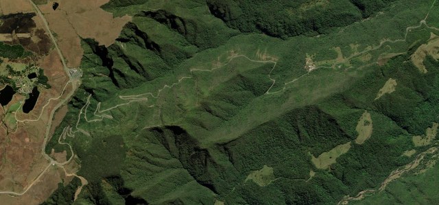
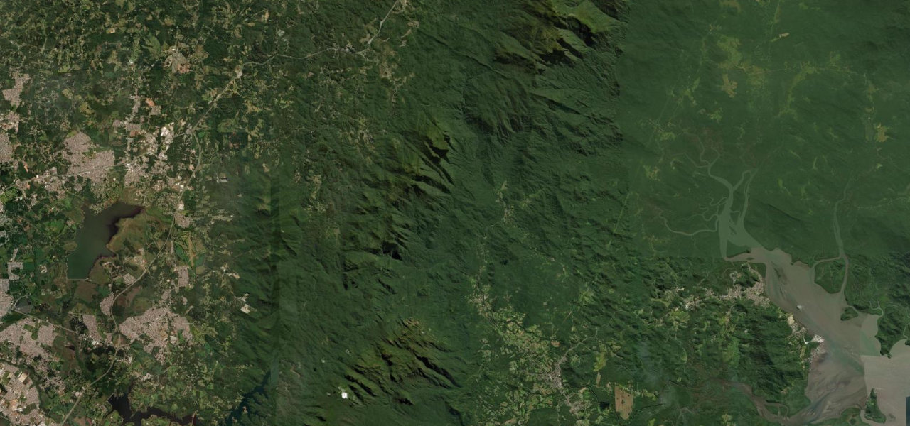
From the BR-116 at Quatro Barras the PR-410 runs to the Portal da Graciosa, a gateway built in the style of the Jesuit missions, then drops through the Serra do Mar from about 850 m towards sea level. Seven recantos with kiosks, toilets and viewpoints follow, starting with Vista Lacerda and continuing through Rio Cascata, Grota Funda, Bela Vista, Curva da Ferradura and Mãe Catira to São João da Graciosa. From about km 8 to km 16 the surface is the original cobbled paving, narrow and full of tight bends, and slippery when wet. At São João da Graciosa, 19.6 km from the BR-116, the PR-411 branches off to Morretes while the PR-410 carries on to Antonina, and this entry follows the PR-411 past the iron bridge at Porto de Cima and on into Morretes. The road follows the old Caminho dos Tropeiros, the muleteers’ route between the plateau and the coast. Morretes, at the end, is known for its barreado.
Scenery
Best seasons
In these collections
Estrada da Graciosa on the map20.2 mi · point to point
Navigate to the start: Apple Maps · Google Maps
Character
Corners
busiest around mile 7Elevation
under 4%4 to 8%over 8%12 to 912 mPoints of interest6 stops
- Portal da GraciosaGateway at the head of the descent, built in the style of the Jesuit missions, where most visitors stop.1.8 mi in
- Mirante Recanto Engenheiro LacerdaFirst of the seven recantos, with a view towards the Pico do Paraná and the bays of Antonina and Paranaguá.3.8 mi in
- Mirante Rio CascataRest stop where a waterfall drops beside the road.4.6 mi in
- Recanto Curva da FerraduraHorseshoe bend with kiosks selling pastel and sugar-cane juice, and a trail down to two waterfalls.8.3 mi in
- Recanto Mãe CatiraWide rest area with mountain views; the free kiosks fill early at weekends.9.9 mi in
- Ponte de Ferro, Porto de CimaIron bridge over the river at Porto de Cima, where families spend the day by the water.16 mi in
Hazards
- Cobbles are slippery when wet
- Narrow bends on the cobbled section
- Fog in the Serra do Mar
- Can close at short notice after heavy rain
- Queues at the portal on sunny weekends and holidays
- Cyclists and motorcycles share the road
See the typical season and live conditions for the high passes ›
Sources
“A Estrada da Graciosa, no Paraná, também entra no hall de rotas clássicas do motociclismo.”
“no trecho de pavimento poliédrico, que exige equipamentos específicos devido às dimensões reduzidas da pista e grande volume de curvas fechadas”
“A Estrada da Graciosa é, sem dúvida, uma das serras mais lindas do Sul do Brasil.”
Route traced from OpenStreetMap, with its stats measured from that line. How the roads are mapped
Driving the Estrada da Graciosa: quick answers
How long does it take to drive the Estrada da Graciosa?
How difficult is the Estrada da Graciosa to drive?
When is the best time to drive the Estrada da Graciosa?
Nearby roads
The closest great drives to Estrada da Graciosa.