Western Highlands · Guatemala
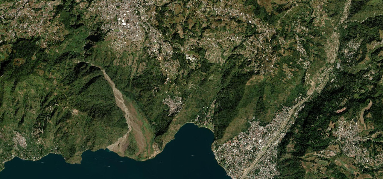
Sololá to Panajachel
RN-1Sololá to Panajachel
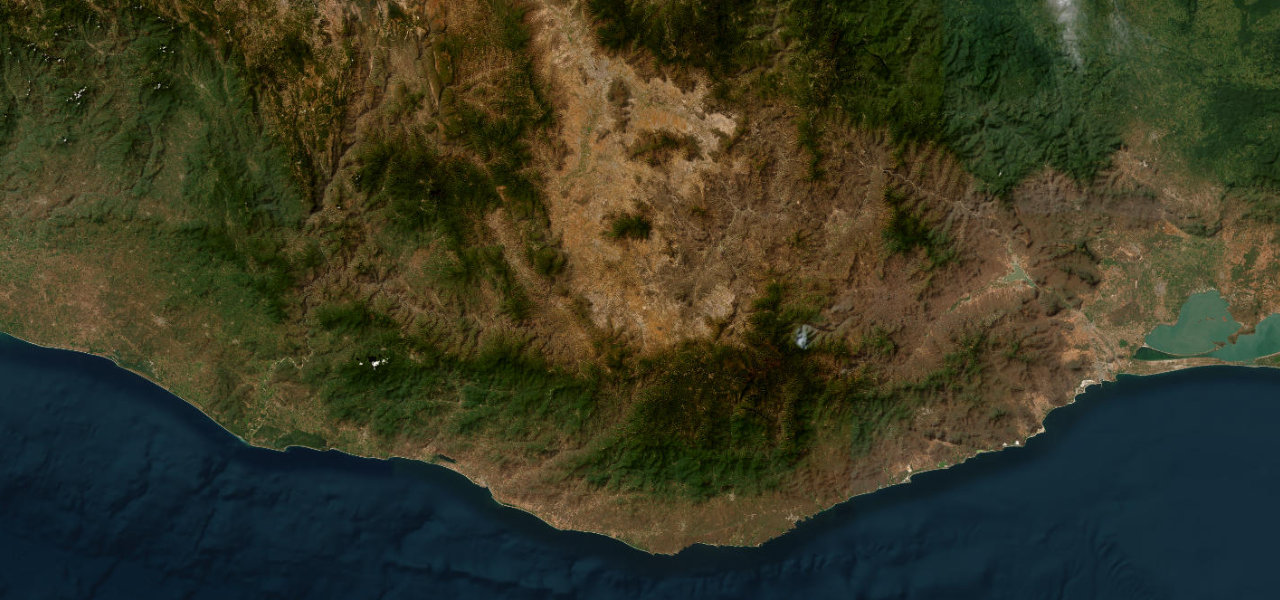
Six kilometres of switchbacks unspooling from the western highlands down to the shores of Lake Atitlán, a lake ringed by three volcanoes often called the most beautiful on earth.
From the highland market town of Sololá (2,113 m), RN-1 drops in tight hairpins through pine forest and corn terraces, losing about 600 m to Panajachel at the lake edge (1,597 m). The volcanic caldera reveals itself in stages: glimpses of water through pines, then the full panorama held between the cones of Atitlán, Tolimán and San Pedro. Recently resurfaced; busiest on Sundays.
Scenery
Where it runs
Navigate to the start: Apple Maps · Google Maps
Character
Elevation
under 4%4–8%over 8%1,556 – 2,111 mHazards
- steep grades
- tight switchbacks
- minimal guardrails
- afternoon storms in the rainy season
- heavy weekend traffic
Sources: Road geometry © OpenStreetMap contributors
Nearby roads
The closest great drives to Sololá to Panajachel.