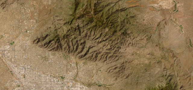
Sierra Madre Occidental · Mexico
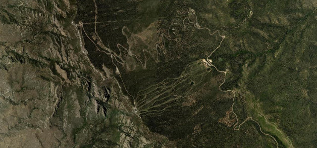
El Espinazo del Diablo
MEX 40El Salto, Durango to El Palmito, Sinaloa
The old libre Highway 40 crossing of the Sierra Madre Occidental, notorious for its 2,000-plus curves, bottomless canyons and the knife-edge Espinazo del Diablo ridge at 2,744 m, one of the most dramatic mountain drives in the Americas.
From El Salto (2,580 m) on the Durango plateau the road winds west through pine forest, cresting the Sierra Madre at 2,744 m before plunging through the razor-thin Espinazo del Diablo ridge flanked by thousand-metre ravines, then descending in endless hairpins through subtropical gorges to the Sinaloa foothills at El Palmito. The new 40D toll road is faster; the old libre road is the drive.
Scenery
Where it runs
Navigate to the start: Apple Maps · Google Maps
Character
Elevation
under 4%4–8%over 8%1,960 – 2,815 mHazards
- sharp bends
- steep drop-offs
- frequent fog
- seasonal ice
- livestock on the road
- narrow two-lane road
Sources: Road geometry © OpenStreetMap contributors
Nearby roads
The closest great drives to El Espinazo del Diablo.