Baja California · Mexico
El Rosario to Cataviña
MEX 1El Rosario to Cataviña
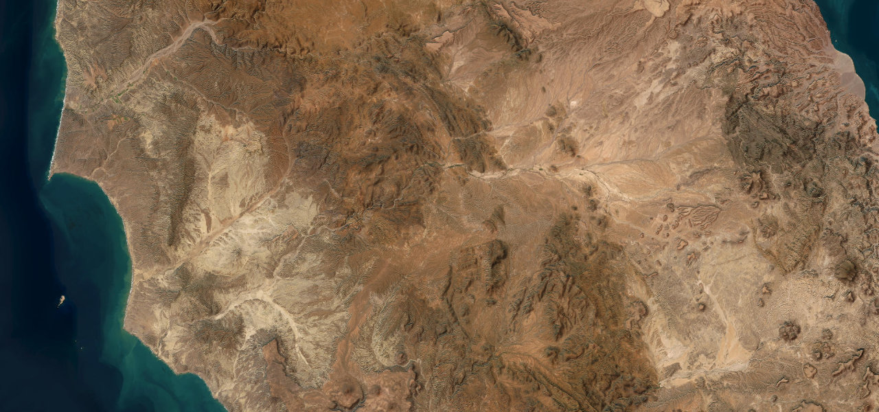
Mexico 1 turns inland at El Rosario and crosses about 120 km of the central desert to Cataviña, the last stretch threading a field of giant granite boulders, cardón cacti and cirio trees.
El Rosario, on the Pacific side of the peninsula, is the place to fill up and to eat, with lobster burritos at Mamá Espinoza’s. From there Mexico 1 heads inland into the central desert as a two-lane road with no hard shoulders or crash barriers, shared with lorries and RVs, and narrow and winding in places. Cataviña lies inside the Valle de los Cirios protected area, and the last stretch runs through its boulder field, enormous granite boulders scattered across the desert among cardón cacti and cirio, or boojum, trees. About 3.5 km before the village, steep turn-offs on the east side of the highway lead to the most accessible rock paintings. Cataviña itself has about 150 people, a couple of hotels and a fuel station that is often closed, so fill up in El Rosario and plan the next stop at Guerrero Negro. In late September 2026 Discover Baja reported that Hurricane Polo had flooded and washed out Mexico 1 in many places in the central peninsula, so check conditions before setting out.
Scenery
Best seasons
In these collections
El Rosario to Cataviña on the map75.5 mi · point to point
Navigate to the start: Apple Maps · Google Maps
Character
Corners
busiest around mile 22Elevation
under 4%4 to 8%over 8%36 to 699 mPoints of interest3 stops
- Mamá EspinozaEl Rosario restaurant known for lobster burritos, the lunch stop before the desert.at the start
- Cueva de La LunaRock-art cave a short walk from turn-offs on the east side of the highway, about 3.5 km north of Cataviña.73 mi in
- CataviñaVillage of about 150 people in the boulder field, with a couple of hotels and camping at Rancho Santa Inés.76 mi in
Hazards
- No hard shoulders or crash barriers
- Lorries and RVs on a narrow two-lane road
- Fuel in Cataviña often unavailable, fill up in El Rosario
- Hurricane washouts, as in September 2026
- Take extra care after dark
Sources
“Driving the full length of Mexico 1 from Tijuana to Cabo is a rite of passage memorable for its diverse landscapes, scenic small towns, historical and archaeological sites, and friendly people.”
“The drive itself is part of the adventure, crossing rugged desert and boulder fields.”
“Every time we visit Cataviña, we are in awe of the surreal landscapes.”
Route traced from OpenStreetMap, with its stats measured from that line. How the roads are mapped
Driving el Rosario to Cataviña: quick answers
How long does it take to drive el Rosario to Cataviña?
How difficult is el Rosario to Cataviña to drive?
When is the best time to drive el Rosario to Cataviña?
Nearby roads
The closest great drives to El Rosario to Cataviña.