California · United States
Ortega Highway
CA 74San Juan Capistrano to Lake Elsinore
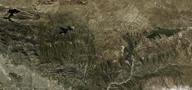
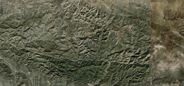
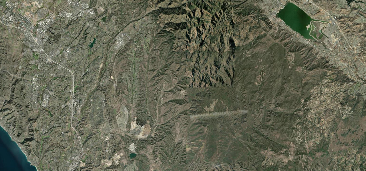
CA 74 climbs from San Juan Capistrano along San Juan Creek through Caspers Wilderness Park and the Cleveland National Forest, winding over the Santa Ana Mountains past El Cariso before dropping to Lake Elsinore.
From the Ortega Highway junction in the old town of San Juan Capistrano, CA 74 heads east, loosely following San Juan Creek, then turns northeast through Rancho Mission Viejo and past Ronald W. Caspers Wilderness Park into the Cleveland National Forest. After the passing lane and bridge the road narrows and begins to twist, with a series of 180 degree turns as it climbs, and it passes San Juan Hot Springs before crossing into Riverside County. It winds on through the Santa Ana Mountains past Ortega Oaks and the two roadhouses riders favour, Hell’s Kitchen at El Cariso and the Lookout Roadhouse, then drops to Lake Elsinore and the junction with Grand Avenue. The highway is narrow and busy and is known as one of the most dangerous in California, and Caltrans is widening the lower end near Lake Elsinore, with night closures and some 55-hour weekend closures.
Scenery
Best seasons
In these collections
Ortega Highway on the map28.3 mi · point to point
Navigate to the start: Apple Maps · Google Maps
Character
Corners
busiest around mile 27Elevation
under 4%4 to 8%over 8%43 to 816 mPoints of interest5 stops
- Mission San Juan CapistranoThe historic mission in San Juan Capistrano, a short walk from where this route starts.at the start
- Ortega Oaks Candy Store and GoodsCandy store at Ortega Oaks, beside the highway among the twisting sections in the forest.19 mi in
- San Juan Loop and Bear Canyon TrailheadsTrailhead parking beside the highway at Ortega Oaks.19 mi in
- Hells KitchenRestaurant and bar catering to motorsports enthusiasts, at El Cariso.23 mi in
- Lookout RoadhouseRoadhouse above Lake Elsinore, a stop for views of the lake before the final descent.24 mi in
Hazards
- Lane widening near Lake Elsinore, with night closures and some 55-hour weekend closures in 2026
- Narrow, busy road with limited shoulders, known as one of the state’s most dangerous
- Brush fires can close the road, as the Gibby Fire did on 2 September 2026
- A favourite with motorcyclists, so expect many bikes
See the typical season and live conditions for the high passes ›
Sources
“Route 74 between San Juan Capistrano and Lake Elsinore, due to its narrow width and high traffic volume, is known as one of the most dangerous highways in the state.”
“After the passing lane and bridge, the road narrows and begins to twist.”
“The roads have a great combination of sweeping turns and twisties.”
Route traced from OpenStreetMap, with its stats measured from that line. How the roads are mapped
Driving the Ortega Highway: quick answers
How long does it take to drive the Ortega Highway?
How difficult is the Ortega Highway to drive?
When is the best time to drive the Ortega Highway?
Nearby roads
The closest great drives to Ortega Highway.