Yukon · Canada
Dempster Highway
Klondike Highway junction to Eagle Plains
Canada’s iconic all-gravel road north from the Klondike toward the Arctic Circle.
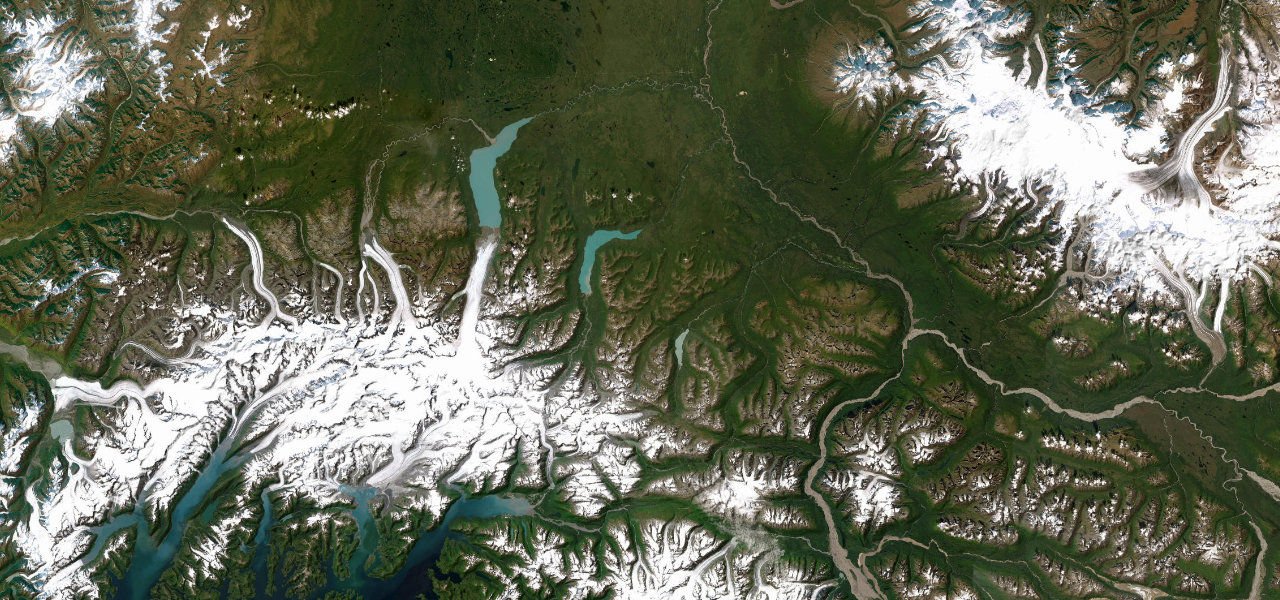
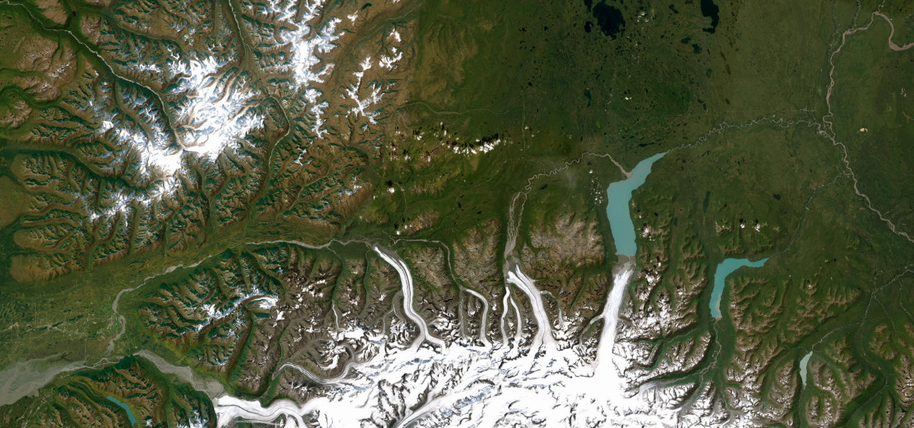
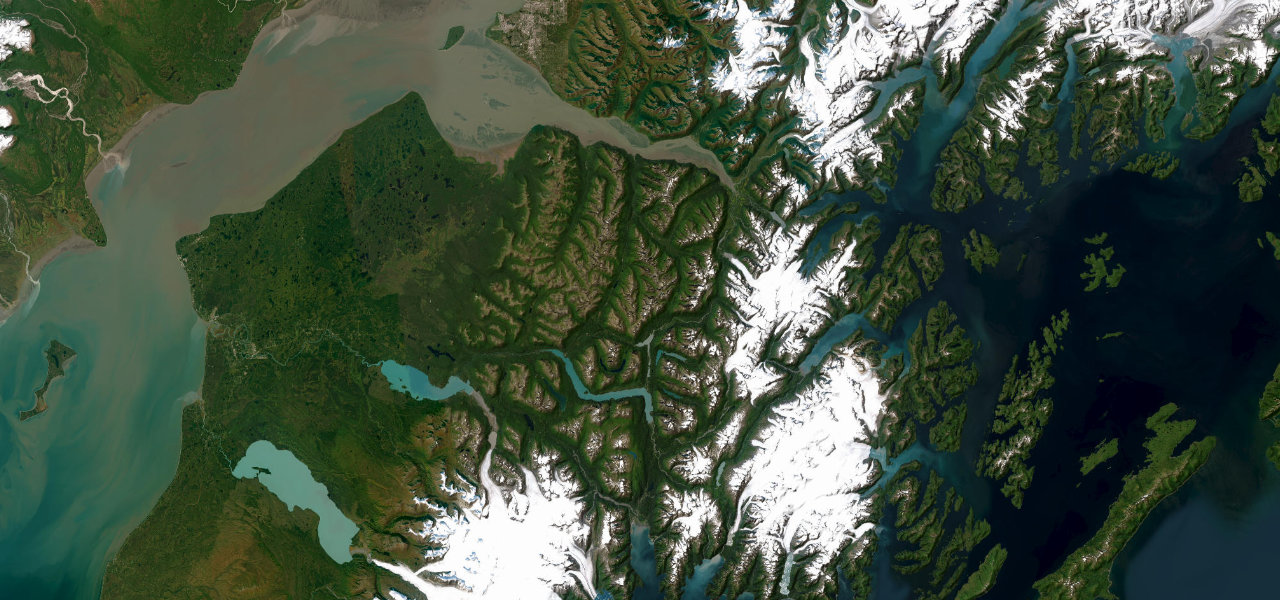
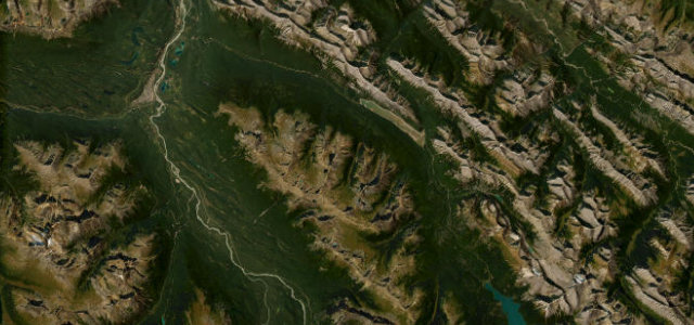
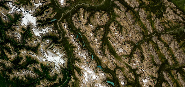
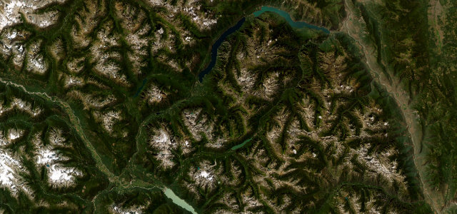
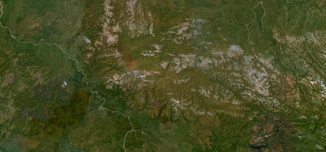
The Dempster Highway strikes north from the Klondike Highway near Dawson City as a lonely all-weather gravel road, climbing through the Tombstone ranges and out onto open tundra on the long northern run that eventually crosses the Arctic Circle and reaches the Mackenzie Delta. This stretch covers the southern leg toward the lone outpost of Eagle Plains. It is an expedition rather than a back-road blast, prized for raw remoteness, big-sky tundra and the sense of driving off the edge of the map. Sharp shale shreds tyres and there are vast gaps between fuel. Mind frequent flat tyres on sharp gravel, hundreds of kilometres with no services, and weather that can turn the surface to slick mud.
Where it runs147.9 mi · point to point
Navigate to the start: Apple Maps · Google Maps
Character
Corners
busiest around mile 43Elevation
under 4%4–8%over 8%465 – 1,340 mPoints of interest1 stop
- Tombstone Interpretive CentrePark visitor centre at km 71 with trails and views over the Tombstone Range43 mi in
Hazards
- Frequent flat tyres on shale
- Hundreds of km with no fuel
- Rain turns surface to mud
Sources
“The drive, a truly memorable driving adventure, is incredibly beautiful, somewhat dangerous, and perhaps something you get to see only once in your life.”
Verified route: mapped from real road geometry and fact-checked by a human editor. How roads get checked
Driving the Dempster Highway: quick answers
How long does it take to drive the Dempster Highway?
How difficult is the Dempster Highway to drive?
When is the best time to drive the Dempster Highway?
Is the Dempster Highway fully paved?
Nearby roads
The closest great drives to Dempster Highway.