Kenai Peninsula, Alaska · United States
Seward Highway
AK 1AK 9Anchorage to Seward
Anchorage to Seward between glacier cliffs and a tidal arm.
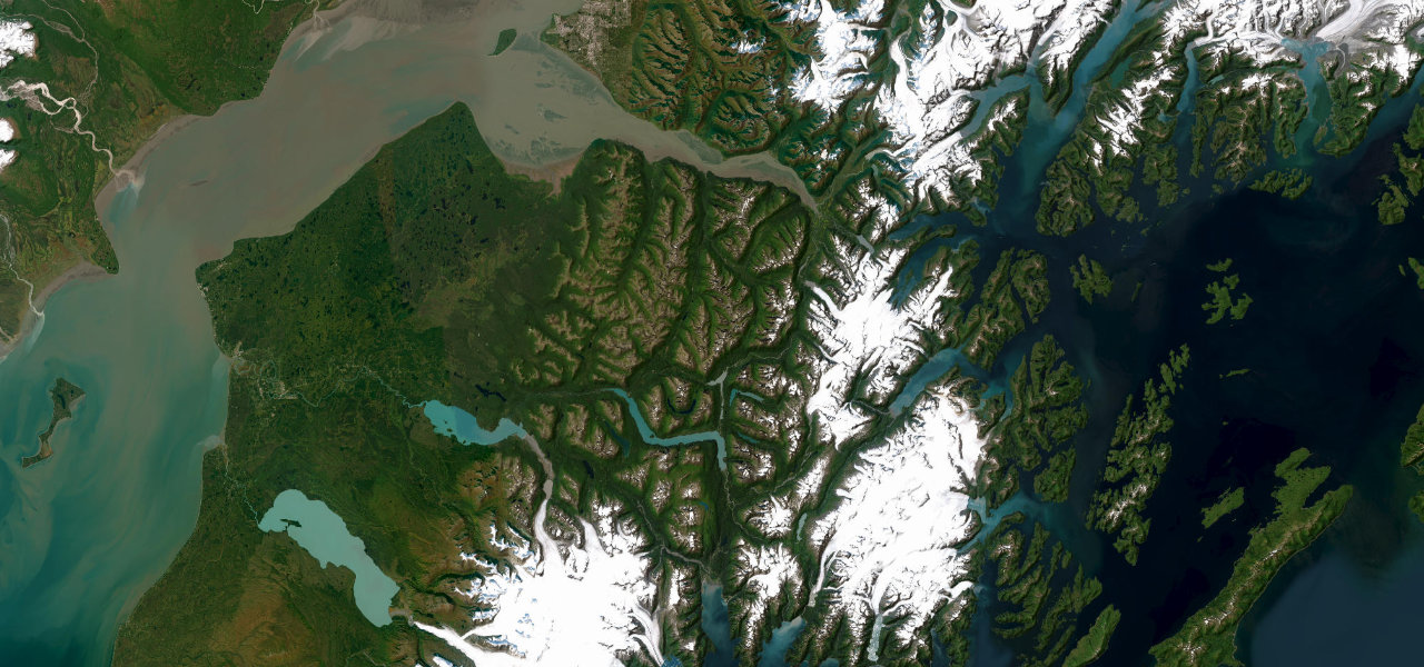
The Seward Highway runs south out of Anchorage pinned between the cliffs of the Chugach and the grey tidal sweep of Turnagain Arm, where a bore tide rolls past Beluga Point and Dall sheep graze the rocks at Windy Corner. Over Turnagain Pass it threads the lakes of the Kenai to the fishing harbour at Seward, an All-American Road that packs fjord, forest and mountain into a single afternoon. It is also Alaska’s most notorious head-on corridor, with double fines along the Arm; moose keep dusk interesting, and avalanche control can close the road in winter.
Cliffs on one side, a bore tide on the other, belugas when the salmon run. The great Alaskan drive, twenty minutes from an international airport.
Why we picked it
Scenery
Best seasons
In these collections
In these Grand Tours
In these guides
Where it runs114.8 mi · point to point
Navigate to the start: Apple Maps · Google Maps
Character
Elevation
under 4%4–8%over 8%0 – 431 mThe strip below the profile is corner density: taller, warmer ticks mean tighter bends.
Points of interest3 stops
- Beluga PointViewpoint7.1 mi in
- Turnagain PassViewpoint48 mi in
- Tern LakeViewpoint79 mi in
Hazards
- Notorious head-on collision corridor, double fines apply
- Moose on the carriageway at dawn and dusk
- Avalanche control closures in winter
- Heavy RV and tour traffic in summer
See the typical season and live conditions for the high passes ›
Verified route: mapped from real road geometry and fact-checked by a human editor. How roads get checked
Driving the Seward Highway: quick answers
How long does it take to drive the Seward Highway?
How difficult is the Seward Highway to drive?
When is the best time to drive the Seward Highway?
Nearby roads
The closest great drives to Seward Highway.