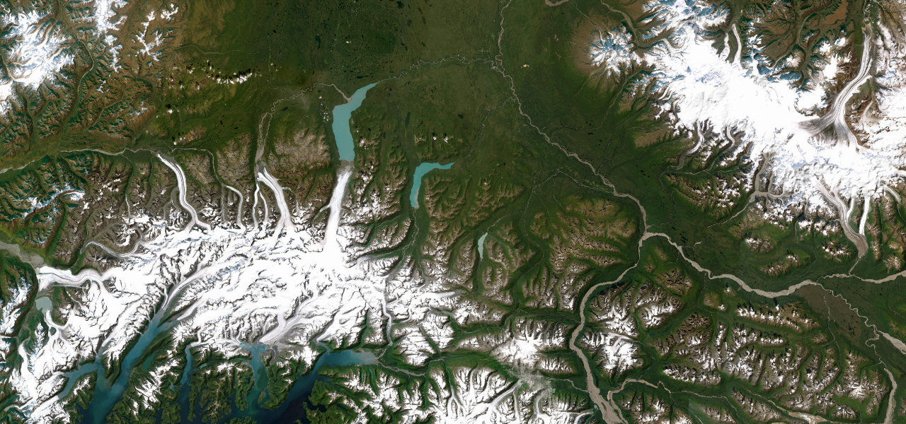
Chugach Mountains, Alaska · United States
Richardson Highway
AK 4Valdez to Glennallen
Valdez over Thompson Pass, waterfalls, glaciers and record snow.
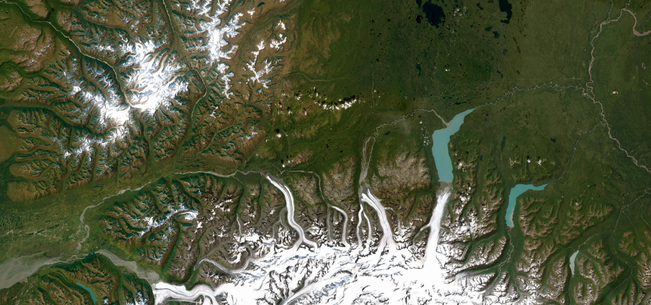
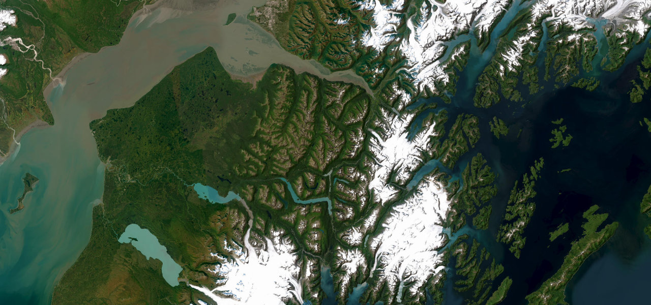
Alaska’s first road, begun as a gold-rush pack trail in 1898, runs out of Valdez through the waterfall walls of Keystone Canyon and climbs into the treeless bowl of Thompson Pass, the snowiest place in the state at over 550 inches a year. The Worthington Glacier reaches almost to the roadside near Mile 29, one of the most accessible glaciers in America, before the highway rolls down the Copper valley to Glennallen with the Wrangell volcanoes on the horizon. Expect avalanche-control closures and whiteouts on the pass deep into spring, and fill up in Valdez: there is next to nothing until Glennallen.
Scenery
Best seasons
In these collections
In these Grand Tours
In these guides
Where it runs117.2 mi · point to point
Navigate to the start: Apple Maps · Google Maps
Character
Elevation
under 4%4–8%over 8%2 – 824 mThe strip below the profile is corner density: taller, warmer ticks mean tighter bends.
Points of interest3 stops
- Bridal Veil Falls, Keystone CanyonLandmark18 mi in
- Thompson PassViewpoint29 mi in
- Worthington Glacier viewpointViewpoint31 mi in
Hazards
- Avalanche closures at Thompson Pass in winter
- Whiteouts possible on the pass well into spring
- Almost no services between Valdez and Glennallen
- Moose at dawn and dusk
See the typical season and live conditions for the high passes ›
Verified route: mapped from real road geometry and fact-checked by a human editor. How roads get checked
Driving the Richardson Highway: quick answers
How long does it take to drive the Richardson Highway?
How difficult is the Richardson Highway to drive?
When is the best time to drive the Richardson Highway?
Nearby roads
The closest great drives to Richardson Highway.