Matanuska Valley, Alaska · United States
Glenn Highway
AK 1Palmer to Glennallen
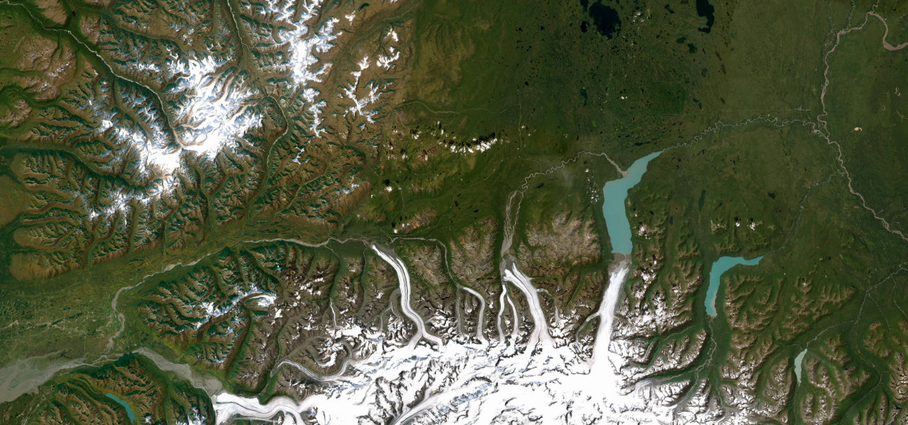
Palmer to Glennallen past the hanging Matanuska Glacier.
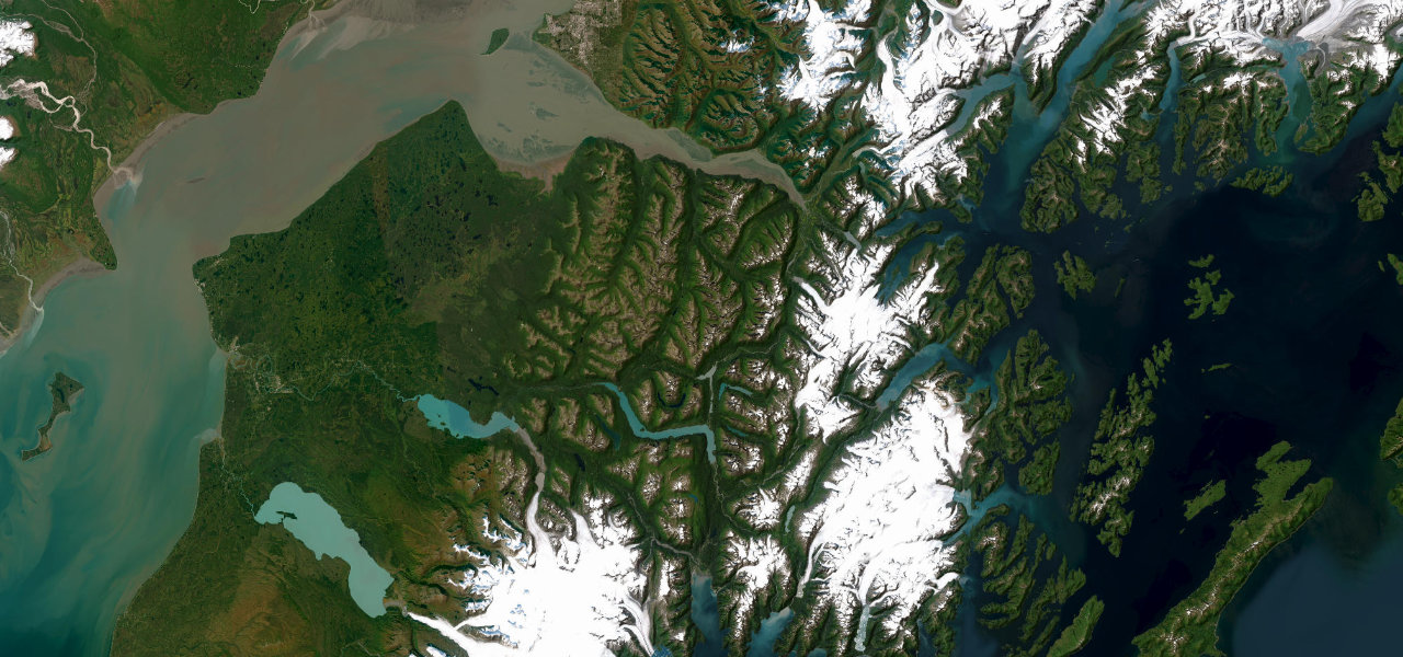
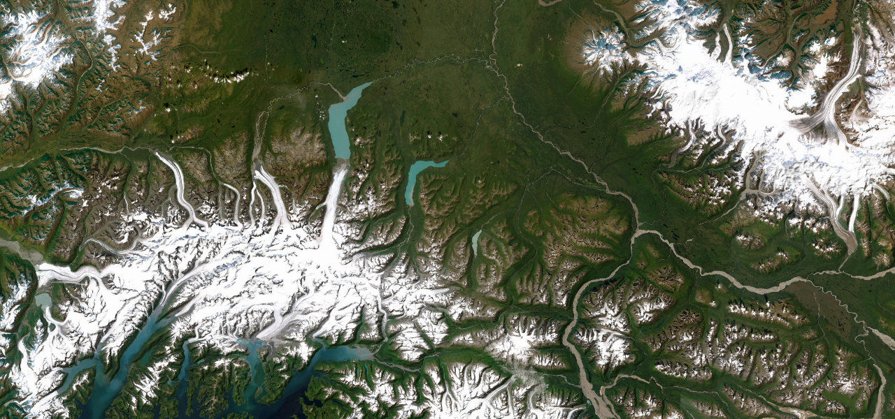
The Glenn Highway tracks the braided Matanuska River east from Palmer, squeezed between the Chugach and Talkeetna ranges, with the four-mile tongue of the Matanuska Glacier filling the windscreen from the bluff-top viewpoint near Mile 101. Past Sheep Mountain the road climbs to Eureka Summit, its 3,322 ft high point, where the Chugach, Talkeetna, Alaska and Wrangell ranges all stand on the horizon at once. A National Scenic Byway with roadhouse-only services for long stretches; watch for moose in the dark months, frost heaves near the summit, and summer resurfacing works.
Scenery
Best seasons
In these collections
In these Grand Tours
In these guides
Where it runs136.8 mi · point to point
Navigate to the start: Apple Maps · Google Maps
Character
Elevation
under 4%4–8%over 8%82 – 1,030 mThe strip below the profile is corner density: taller, warmer ticks mean tighter bends.
Points of interest3 stops
- Matanuska Glacier viewpointViewpoint52 mi in
- Sheep MountainViewpoint64 mi in
- Eureka SummitViewpoint79 mi in
Hazards
- Moose crossings, worst in winter darkness
- Frost heaves and ice near Eureka Summit
- Roadhouse-only services for long stretches
- Summer resurfacing with pilot-car delays
Verified route: mapped from real road geometry and fact-checked by a human editor. How roads get checked
Driving the Glenn Highway: quick answers
How long does it take to drive the Glenn Highway?
How difficult is the Glenn Highway to drive?
When is the best time to drive the Glenn Highway?
Nearby roads
The closest great drives to Glenn Highway.