British Columbia · Canada
Sea-to-Sky Highway
BC 99West Vancouver to Whistler
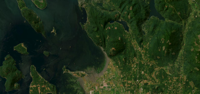
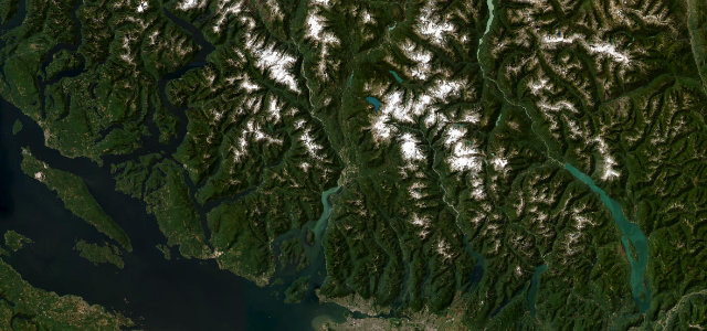
Out of Horseshoe Bay with Howe Sound filling the window, then up past the Stawamus Chief and Shannon Falls into the Coast Mountains to Whistler. Widened and divided for the 2010 Olympics, so the drama is all in the scenery now, and there’s plenty of it.
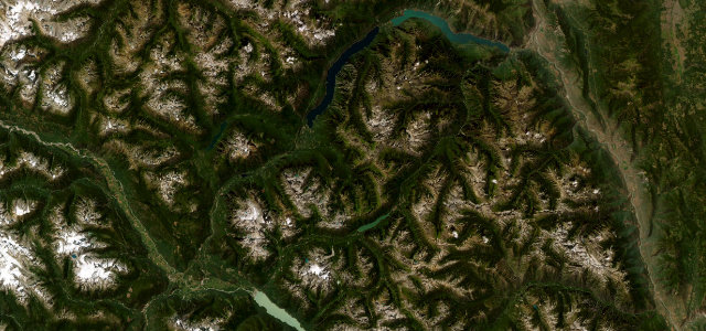
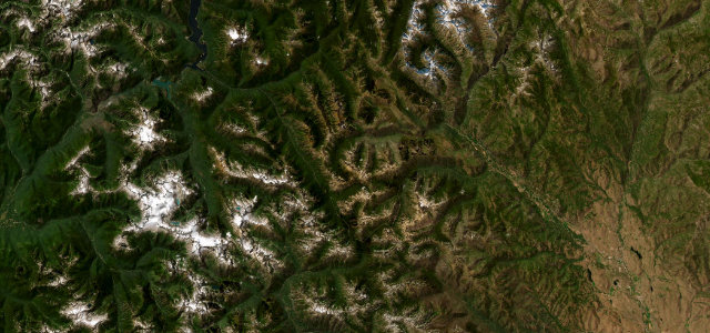
This route climbs from the shores of Howe Sound into the Coast Mountains, passing the Stawamus Chief, Shannon Falls and views of the Tantalus Range. It was widened and divided ahead of the 2010 Winter Olympics. Mind the cliff-edge sections, an 11 percent grade near the summit and frequent heavy traffic.
It hugs the shore, then climbs through granite and forest, every corner opening onto fjord water, peaks and waterfalls. Smooth, generous sweepers the whole way.
Why we picked it
Scenery
Best seasons
In these collections
Where it runs62.1 mi · point to point
Navigate to the start: Apple Maps · Google Maps
Character
Corners
busiest around mile 18Elevation
under 4%4–8%over 8%8.3 – 675.3 mFrom the road
Points of interest4 stops
- Britannia Mine MuseumLandmark19 mi in
- Shannon FallsViewpoint24 mi in
- Sea to Sky GondolaLandmark24 mi in
- Stawamus ChiefViewpoint25 mi in
Hazards
- Cliff-edge sections
- Steep grades
- Heavy tourist traffic
Sources
“one of the world's most spectacular seaside drives”
Verified route: mapped from real road geometry and fact-checked by a human editor. How roads get checked
Driving the Sea-to-Sky Highway: quick answers
How long does it take to drive the Sea-to-Sky Highway?
How difficult is the Sea-to-Sky Highway to drive?
When is the best time to drive the Sea-to-Sky Highway?
Nearby roads
The closest great drives to Sea-to-Sky Highway.