California · United States
Highway 1, Mendocino Coast
CA 1Gualala to Mendocino
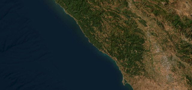
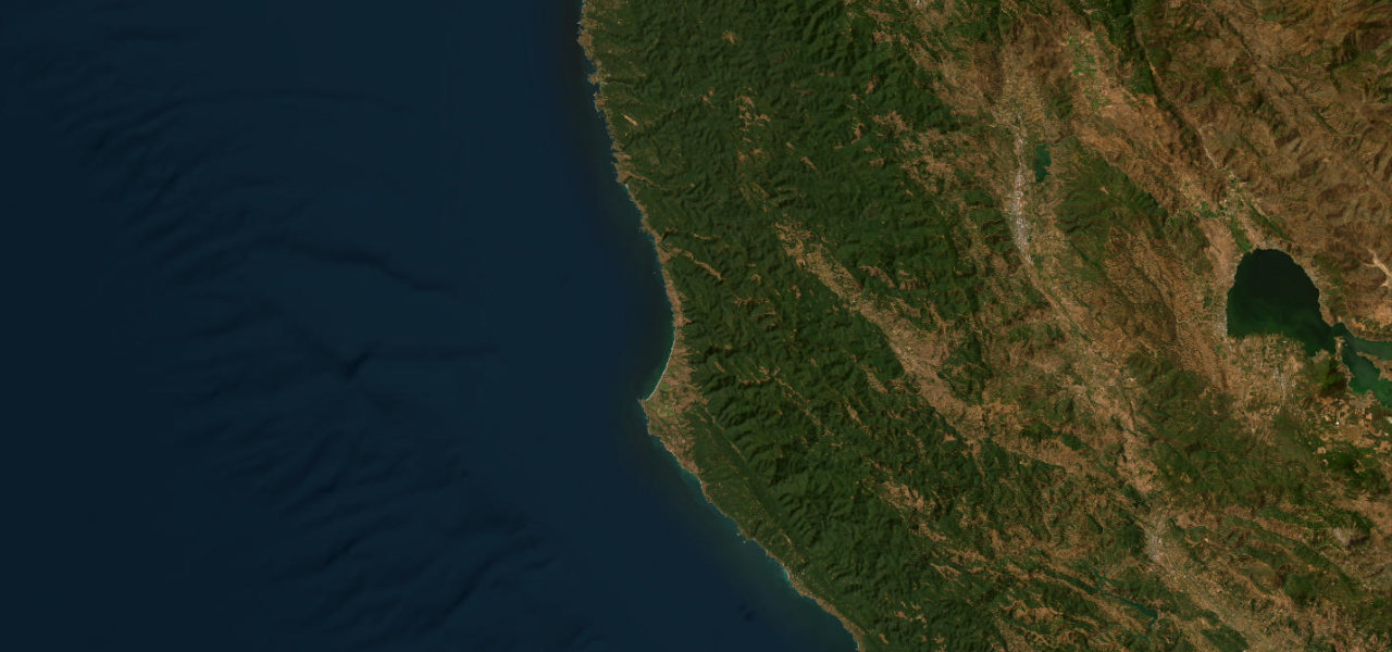
Highway 1 runs about 49 miles from Gualala to Mendocino through Point Arena, Elk and Albion, past undeveloped coves, the Navarro River and the last wooden trestle bridge on the highway.
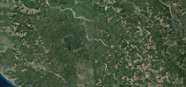
From Gualala, CA 1 runs north through the southern 40 miles of the Mendocino coast, which the Road Trip USA guide calls almost totally undeveloped, with green forests and coastal coves as far as the eye can see. It passes the Russian Orthodox domes of St. Orres, the turnout at Schooner Gulch for Bowling Ball Beach and then Point Arena, where Lighthouse Road leads to the 115-foot lighthouse. North of Manchester the road runs through Elk, home to the Elk Store and the Elk Garage, and crosses the Navarro River where CA 128 heads inland to the Anderson Valley. At Albion it crosses the last wooden trestle bridge on Highway 1, then comes through Little River past Van Damme State Park to the Main Street junction for Mendocino, a clapboard town above its headlands.
Highway 1, Mendocino Coast on the map49.0 mi · point to point
Navigate to the start: Apple Maps · Google Maps
Character
Corners
busiest around mile 30Elevation
under 4%4 to 8%over 8%5 to 103 mPoints of interest6 stops
- St. OrresInn and restaurant with Russian Orthodox domes, above the highway on the north side of Gualala.2.7 mi in
- Bowling Ball Beach Trailhead ParkingSmall lot on the west side of the highway at Schooner Gulch Road; the round boulders show best at low tide.11 mi in
- Pier PlaceCasual Point Arena restaurant with a deck, serving oysters and clam chowder.15 mi in
- Elk StoreGeneral store in Elk known for hearty sandwiches made with house-baked bread.33 mi in
- Albion River BridgeThe last wooden trestle bridge still in use on Highway 1, built in 1944.43 mi in
- Van Damme State Park Day UseDay-use parking at the mouth of Little River, three miles south of Mendocino.46 mi in
Hazards
- One-way traffic control at a rock slide north of Point Arena, delays up to 10 minutes
- Landslides near Elk after heavy winter rain
- Few services on the southern 40 miles of the coast
- Foggy mornings along the coast
Sources
“While the coastal scenery is stupendous all the way along the Mendocino coast, one place worth keeping an eye out for on the drive along Hwy-1 is the tiny roadside community of Elk”
“take this scenic drive along the iconic Pacific Coast Highway and take in the dramatic coastline, charming coastal towns, and picturesque state parks of Mendocino County.”
“There’s just something soothing about cruising along California’s legendary Highway 1 with its dramatic coastline and real deal small towns linking the dots.”
Route traced from OpenStreetMap, with its stats measured from that line. How the roads are mapped
Driving the Highway 1, Mendocino Coast: quick answers
How long does it take to drive the Highway 1, Mendocino Coast?
How difficult is the Highway 1, Mendocino Coast to drive?
When is the best time to drive the Highway 1, Mendocino Coast?
Nearby roads
The closest great drives to Highway 1, Mendocino Coast.