California · United States
Highway 1, Sonoma Coast
CA 1Bodega Bay to Gualala River
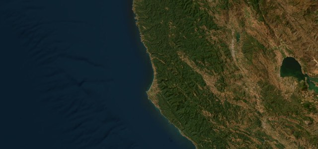
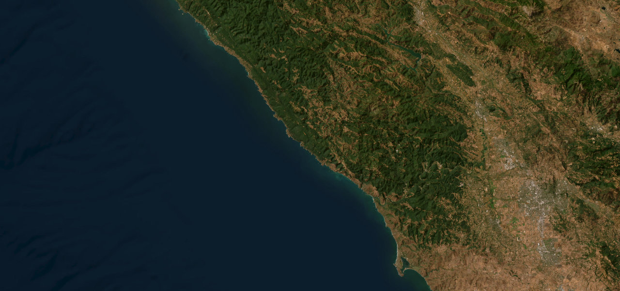
Highway 1 follows the Sonoma Coast for about 46 miles from Bodega Bay through Jenner and Fort Ross to the Gualala River, climbing onto cliff-top curves high above the sea north of the Russian River.
From the north end of Bodega Bay, CA 1 runs along the shore past a string of small state park beaches and pullouts to Jenner, about 10 miles on, where the Russian River meets the sea. North of Jenner the road climbs onto high cliffs and works down into Russian Gulch and back out through a set of switchbacks, with the sea far below and cattle grazing the open range beside the road. It passes Fort Ross, the Russian outpost built in 1812, then Bufano’s 93-foot Peace statue above Timber Cove, the rocky coves of Salt Point State Park and the Stewarts Point store, before settling into the long straights of Sea Ranch, where a tiny chapel sits on the east side of the road. The drive ends at the Gualala River bridge, where the highway crosses into Mendocino County. Bodega Bay is the last proper services hub, so fill up there, and use the turnouts to let locals pass.
Highway 1, Sonoma Coast on the map46.4 mi · point to point
Navigate to the start: Apple Maps · Google Maps
Character
Corners
busiest around mile 14Elevation
under 4%4 to 8%over 8%4 to 188 mPoints of interest6 stops
- River’s EndDeck above the mouth of the Russian River at Jenner, with harbour seals hauled out on the sand below.11 mi in
- Goat Rock BeachSea stacks and a flat-topped rock where the Russian River meets the sea, reached by Goat Rock Road.11 mi in
- Vista Trail overlookShort rise to a paved parking area overlooking the ocean, on the west side of the highway across from Meyers Grade Road.15 mi in
- Fort RossRestored Russian outpost of 1812. Highway 1 ran straight through the fort until the 1970s.21 mi in
- Stewarts Point StoreGeneral store with to-order sandwiches and sticky buns, often a rally point for motorcyclists and cyclists.36 mi in
- Sea Ranch ChapelTiny chapel of copper, redwood and stone, completed in 1985 and open from sunup to sunset.43 mi in
Hazards
- Long drops to the sea on the cliffs north of Jenner
- Cattle on the road north of Jenner
- Slide scars and rebuilt retaining walls on the cliffs
- Sneaker waves and unstable cliffs at the beach stops
- Slow traffic through Bodega Bay on summer weekends
- Russian River flooding at Jenner after heavy winter rain
Sources
“This is one of the few stretches of highway that resembles Highway 1 Big Sur with the road high above the ocean hundreds of feet carved through numerous twists and turns, an endless cadre of curvy goodness.”
“Highway 1 lines the Sonoma Coast along the Pacific Ocean for 56 miles, passing through Bodega Bay, Jenner, Fort Ross and other spectacular and charming spots for a stroll, a meal, some wine or simply taking in the views.”
“North of Jenner, Highway 1 climbs hard, and suddenly you’re on those high green cliffs with the road etched into the hillside.”
Route traced from OpenStreetMap, with its stats measured from that line. How the roads are mapped
Driving the Highway 1, Sonoma Coast: quick answers
How long does it take to drive the Highway 1, Sonoma Coast?
How difficult is the Highway 1, Sonoma Coast to drive?
When is the best time to drive the Highway 1, Sonoma Coast?
Nearby roads
The closest great drives to Highway 1, Sonoma Coast.