Alpes-Maritimes · France
Grande Corniche
M2564D2564Nice to Roquebrune-Cap-Martin
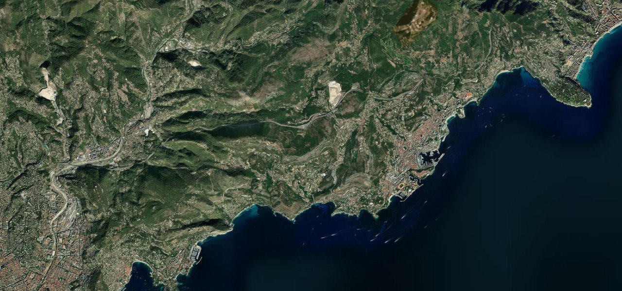
Napoleon’s high road from Nice to Roquebrune climbs past the Nice observatory to the Col d’Èze and La Turbie, sometimes 500 m above the sea, with Nice, Cap Ferrat, Monaco and Cap Martin laid out below.
The road leaves Nice on the Boulevard Bischoffsheim and climbs steadily for about 13 km, looping round the Nice observatory on Mont Gros and passing the Col des Quatre Chemins on the way to the Col d’Èze at 512 m, above the perched village of Èze. Built under Napoleon along the line of the Roman Via Julia Augusta, it keeps high above the coast and avoids the towns between Nice and La Turbie, with views over Nice, Cap Ferrat, Cap Martin and Monaco. Beyond the col it runs past the Parc de la Grande Corniche, a 660 ha departmental park, to La Turbie, known for its frequent fog and the Roman Trophée des Alpes built for Augustus. From La Turbie it descends on smooth bends with few junctions to the old village and castle of Roquebrune, ending at the roundabout where you turn for Menton. Hitchcock filmed parts of To Catch a Thief up here, and the stretch around the Col d’Èze appears in GoldenEye. It is chosen here over the Moyenne Corniche below, which is more developed, carries more traffic and runs as dual carriageway for much of its length.
Scenery
Best seasons
Featured in
In these collections
Grande Corniche on the map15.0 mi · point to point
Navigate to the start: Apple Maps · Google Maps
Character
Corners
busiest around mile 14Elevation
under 4%4 to 8%over 8%24 to 543 mPoints of interest5 stops
- Observatoire de NiceThe Nice observatory on Mont Gros, which the road loops around on the climb out of the city.2.4 mi in
- Col d’ÈzeCar park at the Col d’Èze, 512 m, above the perched village of Èze.5.8 mi in
- Parc de la Grande CornicheDepartmental park of 660 ha, with views along the coast from Italy to the Esterel.6.4 mi in
- Trophée des AlpesRoman monument at La Turbie, 35 m high, built for the Emperor Augustus.9.6 mi in
- Château des GrimaldiMedieval castle above the old village of Roquebrune, just off the descent.14 mi in
Hazards
- Cyclists on the climbs all year
- Fog around La Turbie hiding the views
- Twisty in places, watch for other traffic
Sources
“The Grande Corniche (D2564) offers views of the Mediterranean on one side and on the other you have rustic villas, pine trees and cacti.”
“Running sometimes at 500 metres above the sea, the Grande Corniche avoids all the urban areas between Nice and La Turbie.”
“The vistas are indeed heady on this dizzying road (the D2564) that climbs to 550m above sea level.”
Route traced from OpenStreetMap, with its stats measured from that line. How the roads are mapped
Driving the Grande Corniche: quick answers
How long does it take to drive the Grande Corniche?
How difficult is the Grande Corniche to drive?
When is the best time to drive the Grande Corniche?
Nearby roads
The closest great drives to Grande Corniche.