Alpes-Maritimes · France
Col de Vence
D2Vence to Col de Vence
The Riviera back-country road carmakers head straight for when launching a new car, a twisting climb above Vence into a lunar plateau.
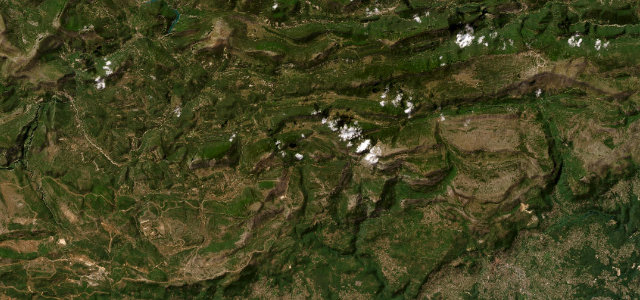
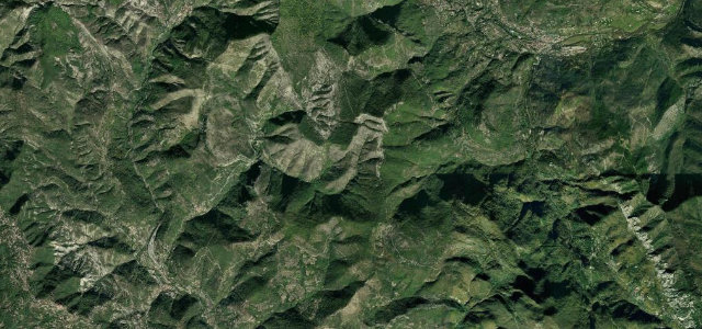
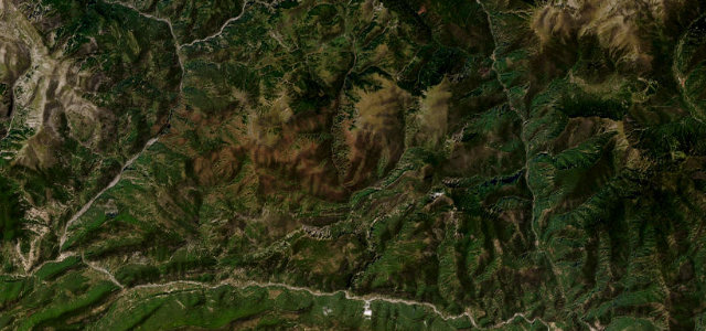
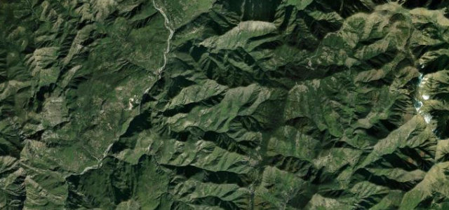
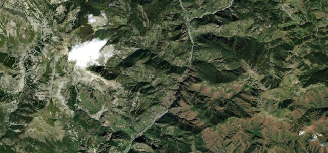
The D2 climbs out of the hilltop town of Vence into the wild, rocky back country of the Alpes-Maritimes, cresting the 963 metre Col de Vence before running on toward Coursegoules. The lower switchbacks open ever wider views back over Vence and the glittering Mediterranean, then the landscape turns almost lunar, all bare limestone, scattered rock arches and empty plateau. It has a serious reputation among the motoring press as a default proving ground for car launches near Nice, prized for its mix of technical hairpins and flowing high sections. Traffic thins quickly above the town. The surface is decent though it can be patchy in the high open stretches. Mind grazing sheep and unfenced livestock on the plateau, gusty crosswinds up top, and the popularity with bikes and cyclists on fine weekends.
Scenery
Best seasons
In these collections
In these guides
Where it runs6.3 mi · point to point
Navigate to the start: Apple Maps · Google Maps
Character
Corners
busiest around mile 3Elevation
under 4%4–8%over 8%320.8 – 963 mFrom the road
Points of interest3 stops
- Col de VenceViewpoint6.3 mi in
- Plaque commémorative du Mouvement CombatLandmark1.9 mi in
- Monument commémoratif des déportés juifsLandmark0.2 mi in
Hazards
- Unfenced livestock on the plateau
- Gusty crosswinds in the open high section
- Heavy bike and cyclist traffic at weekends
Sources
“Whenever a car is launched anywhere near Nice, we usually head straight for the D2, regardless of any routes the manufacturer has planned.”
Verified route: mapped from real road geometry and fact-checked by a human editor. How roads get checked
Driving the Col de Vence: quick answers
How long does it take to drive the Col de Vence?
How difficult is the Col de Vence to drive?
When is the best time to drive the Col de Vence?
Nearby roads
The closest great drives to Col de Vence.