Alpes-Maritimes / Piedmont · France
Col de la Lombarde
M97SP255Isola 2000 to Vinadio
A relentlessly twisting border climb above the Isola 2000 ski resort, famous for its near-continuous ladder of hairpins.
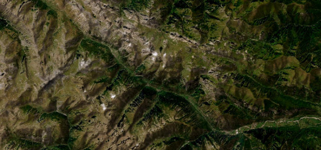
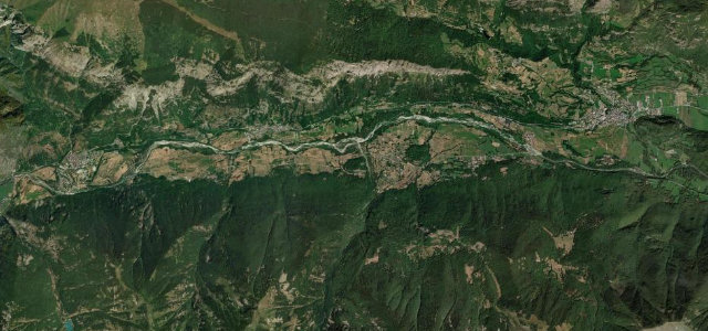
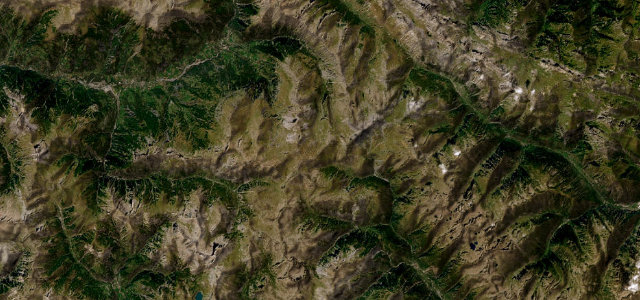
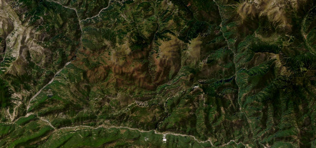
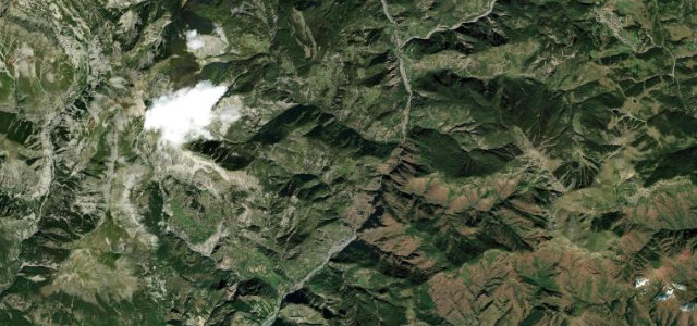
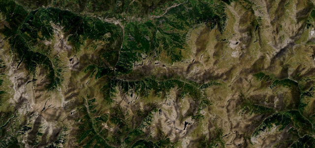
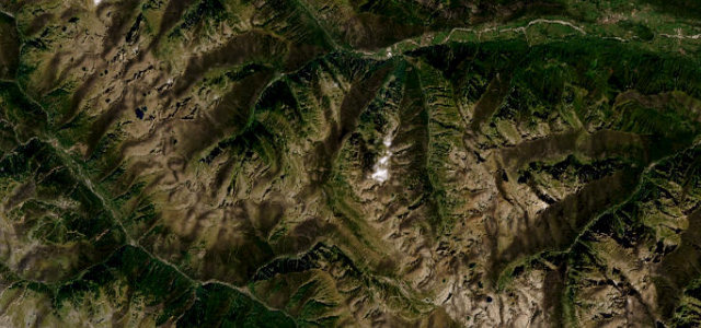
Starting from the Isola 2000 resort the M97 corkscrews upward through bare high alpine terrain to the 2,351 m frontier saddle, then descends into Italy as the SP255 down the wild Stura di Demonte valley toward Vinadio. The route is celebrated for an almost unbroken chain of hairpins, roughly 75 across the full ascent and descent, with a generally good but narrow surface. It is one of the higher road passes in France and featured in the 2008 Tour de France. The upper sections are exposed and treeless. Mind the very tight narrow hairpins with limited passing room, late-lying snow that can keep it shut into June, and the long remote Italian descent with little in the way of services.
Scenery
Best seasons
In these collections
In these guides
Where it runs20.9 mi · point to point
Navigate to the start: Apple Maps · Google Maps
Character
More hairpins than 9 in 10 roads · the most hairpins in France, by our count in the catalogue.
Corners
busiest around mile 16Elevation
under 4%4–8%over 8%892.2 – 2,347.2 mFrom the road
Points of interest3 stops
- Col de la Lombarde / Colle della LombardaViewpoint3.7 mi in
- Don Giorgio PepinoLandmark8.6 mi in
- Rocca San GiovanniViewpoint5.8 mi in
Hazards
- Very tight narrow hairpins with limited passing room
- Closed by snow, often into June
- Long remote Italian descent with few services
Is Col de la Lombarde open? Typical season and live summit weather ›
Sources
“The winding and curvy road to the summit is totally paved and extremely defiant, with 75 sharp hairpin turns.”
Verified route: mapped from real road geometry and fact-checked by a human editor. How roads get checked
Driving the Col de la Lombarde: quick answers
How long does it take to drive the Col de la Lombarde?
How difficult is the Col de la Lombarde to drive?
When is the best time to drive the Col de la Lombarde?
Nearby roads
The closest great drives to Col de la Lombarde.