Provence-Alpes-Côte d'Azur · France
Col de la Bonette
M2205Jausiers to Saint-Étienne-de-Tinée
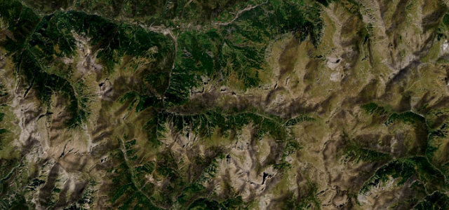
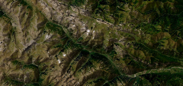
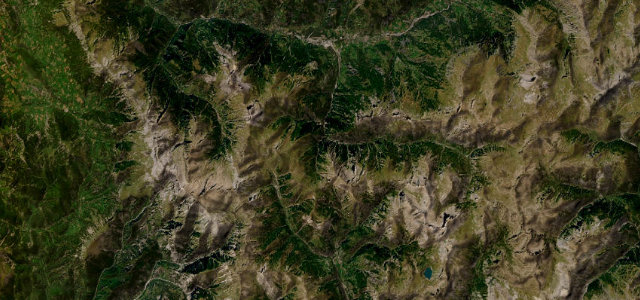
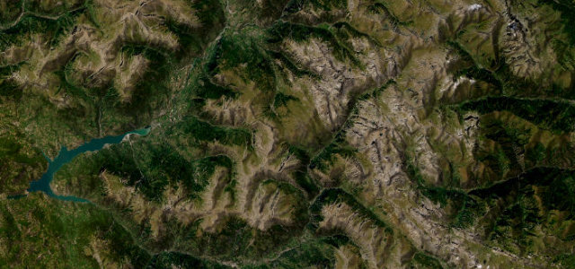
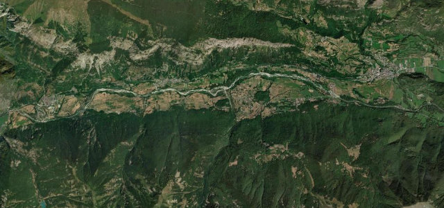
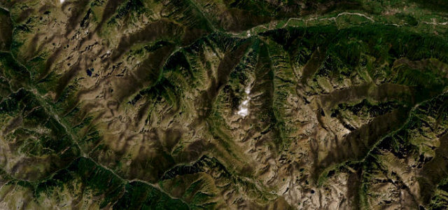
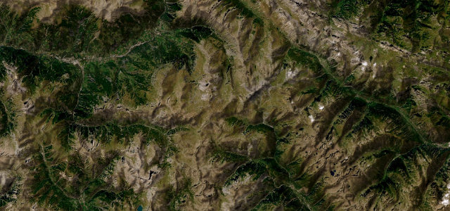
The summit isn’t a col so much as a loop, the tarmac circling right around the Cime de la Bonette at 2,802 metres. Between Jausiers and Saint-Étienne-de-Tinée the landscape empties out until it’s properly lunar.
The Route de la Bonette climbs to the loop around the Cime de la Bonette at 2,802 m (the M2205 on the Tinée side), among the highest paved roads in France, between Jausiers and Saint-Étienne-de-Tinée. A vast, lunar high-mountain road; carry warm clothes, watch for altitude weather and livestock, and check it’s open before you set off.
One of the highest roads in the Alps, lunar, lonely, unforgettable. Worth every metre of the climb.
Why we picked it
Scenery
Best seasons
In these collections
In these Grand Tours
In these guides
Where it runs29.0 mi · point to point
Navigate to the start: Apple Maps · Google Maps
Character
More hairpins than 9 in 10 roads in the catalogue.
Corners
busiest around mile 12Elevation
under 4%4–8%over 8%1,144.1 – 2,701.4 mFrom the road
Points of interest3 stops
- Faux col de RestefondViewpoint13 mi in
- Col de la BonetteViewpoint14 mi in
- Col de RaspaillonViewpoint16 mi in
Hazards
- Extreme altitude weather
- Livestock on open road
- Closed in winter
Is Col de la Bonette open? Typical season and live summit weather ›
Sources
“It's a road of breathtaking scale, raw mountain beauty, and epic hairpin bends.”
Verified route: mapped from real road geometry and fact-checked by a human editor. How roads get checked
Driving the Col de la Bonette: quick answers
How long does it take to drive the Col de la Bonette?
How difficult is the Col de la Bonette to drive?
When is the best time to drive the Col de la Bonette?
Nearby roads
The closest great drives to Col de la Bonette.