Provence-Alpes-Côte d'Azur · France
Col d'Allos
D908Barcelonnette to Allos
A narrow, hairpin southern-Alps col above Barcelonnette.
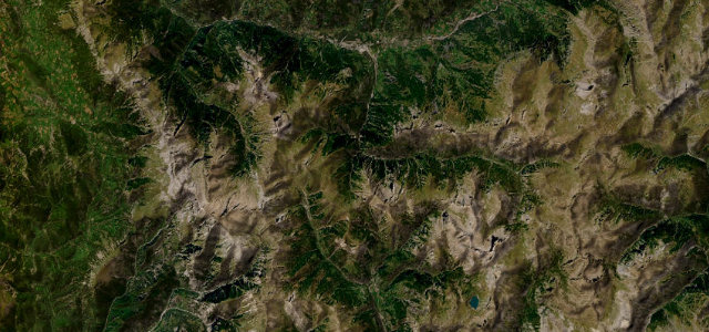
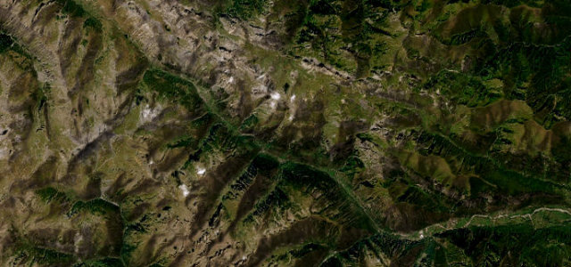
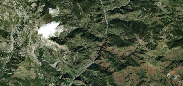
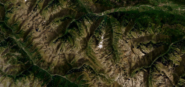
The D908 over the Col d’Allos at 2,247 m links Barcelonnette and the Verdon, a narrow, twisting Route des Grandes Alpes col with little protection and big views over the southern Alps. Demanding and exposed; mind the unguarded edges, the tight bends, and snow outside summer.
Scenery
MountainValley
Best seasons
SpringSummerAutumn
In these collections
In these guides
Where it runs21.9 mi · point to point
BarcelonnetteStart · Provence-Alpes-Côte d'Azur
AllosEnd · Provence-Alpes-Côte d'Azur
Navigate to the start: Apple Maps · Google Maps
Character
Corners44bends
Tightness8of 10
Max gradient10%≈ 1-in-10
Hairpins16tight bends
Climb1,208 mtotal ascent
Summit2,241.4 mhighest point of the line · 7,354 ft
Corners
busiest around mile 15Elevation
under 4%4–8%over 8%1,125.1 – 2,241.4 mFrom the road
Points of interest1 stop
- Col d’AllosViewpoint12 mi in
Hazards
- Unguarded edges and tight bends
- Narrow with oncoming traffic
- Closed in winter
Is Col d'Allos open? Typical season and live summit weather ›
Sources
“The road to the summit is totally paved in very bad conditions and very challenging with numerous hairpins.”
Verified route: mapped from real road geometry and fact-checked by a human editor. How roads get checked
Driving the Col d'Allos: quick answers
How long does it take to drive the Col d'Allos?
Col d’Allos runs 21.9 miles (35 km) and takes about 51 min to drive without stops.
How difficult is the Col d'Allos to drive?
We rate it demanding: 44 corners including 16 hairpins, a maximum gradient of 10%, and a tightness of 8 out of 10.
When is the best time to drive the Col d'Allos?
Spring and Summer and Autumn are best. The road closes seasonally over winter; check it has reopened before setting out.
Nearby roads
The closest great drives to Col d'Allos.
Col d'Allos
DirectionsGet the app