Alpes-Maritimes · France
Gorges de Daluis
D2202Guillaumes to Daluis
A red-rock canyon road nicknamed the Colorado of Nice, threaded with cliff tunnels.
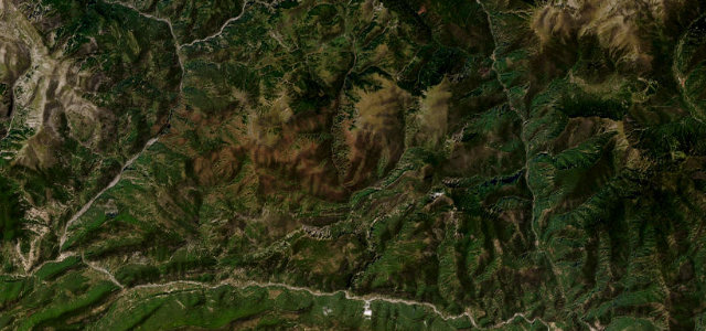
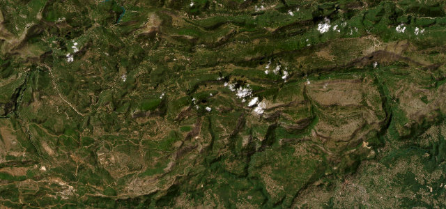
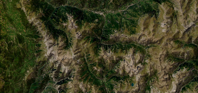
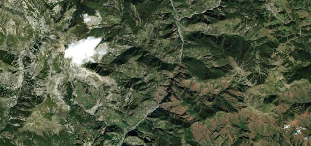
South of Guillaumes the D2202 hugs the western wall of a deep gorge cut into rust-red Permian pelite by the upper Var, dropping toward Daluis. The southbound lane runs through a string of narrow, unlit rock tunnels, with the vertiginous Pont de la Mariee spanning the void. It is more spectacle than racetrack, but the changing colours and the sheer drop make it memorable. Mind the unlit single-lane tunnels, oncoming traffic on the cliff edge, and falling rock after rain.
Scenery
Best seasons
In these collections
Where it runs7.0 mi · point to point
Navigate to the start: Apple Maps · Google Maps
Character
Corners
busiest around mile 5Elevation
under 4%4–8%over 8%669.3 – 918.2 mFrom the road
Points of interest3 stops
- Tête de FemmeLandmark4.6 mi in
- Belvédère du Pont de la MariéeViewpoint2.6 mi in
- Cascade d’AmenLandmark3.2 mi in
Hazards
- Narrow unlit rock tunnels
- Cliff-edge drops with few barriers
- Rockfall after rain
Sources
“the road begins rather twisted, as it passes through narrow cuttings and even narrower tunnels alongside the real gorges, with steep red-rock cliffs following the river”
Verified route: mapped from real road geometry and fact-checked by a human editor. How roads get checked
Driving the Gorges de Daluis: quick answers
How long does it take to drive the Gorges de Daluis?
How difficult is the Gorges de Daluis to drive?
When is the best time to drive the Gorges de Daluis?
Nearby roads
The closest great drives to Gorges de Daluis.