Alpes-Maritimes · France
Route Napoléon (Grasse to Castellane)
D6085Grasse to Castellane
The most renowned stretch of the historic Route Napoléon, sweeping from the perfume town of Grasse up into the Provençal Alps.
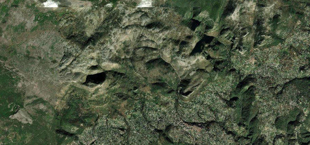
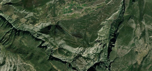
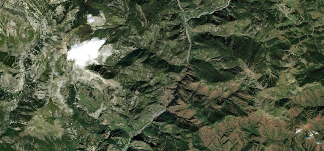
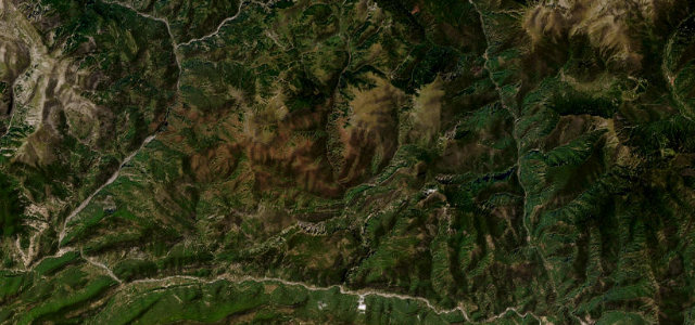
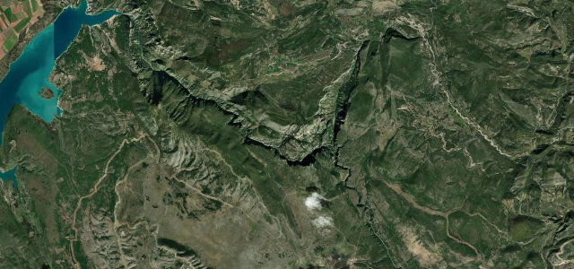
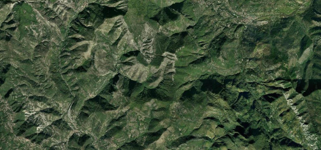
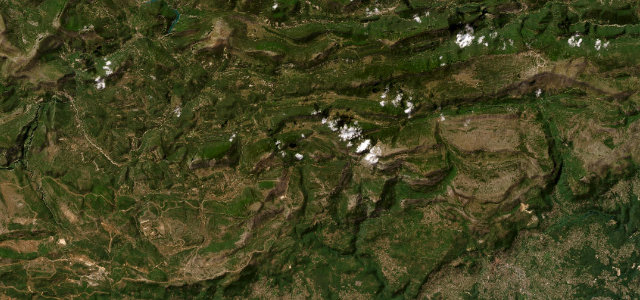
This is the Grasse to Castellane section of the N85, now signed D6085, that traces Napoleon’s 1815 march from Elba back toward Grenoble. Climbing out of Grasse the road quickly leaves the Riviera behind, opening into pine forest, limestone plateaus and a string of fast sweeping curves widely held to be among the finest driving miles in southern France before dropping toward Castellane at the gateway to the Verdon. It is a graceful, rhythmic road rather than a hairpin gauntlet, rewarding flow over heroics, with the historical drama of the imperial route adding to the appeal. The surface is generally good and the bends well sighted. Mind the heavy tourist and motorhome traffic in summer, the abrupt change to mountain weather as you gain height, and slower coaches on the climbs out of the towns.
The road Napoléon marched in 1815 on his return from Elba, now a sweeping run up into the pre-Alps. Long, flowing curves and big mountain views the whole way to Castellane.
Why we picked it
Scenery
Best seasons
In these collections
In these guides
Where it runs38.6 mi · point to point
Navigate to the start: Apple Maps · Google Maps
Character
Corners
busiest around mile 1Elevation
under 4%4–8%over 8%315.4 – 1,182.8 mFrom the road
Points of interest3 stops
- Col de ValferrièreViewpoint21 mi in
- Pas de la FayeViewpoint11 mi in
- Col du PilonViewpoint5.5 mi in
Hazards
- Heavy summer tourist and motorhome traffic
- Slow coaches on the climbs
- Mountain weather changing with altitude
Sources
“Route Napoleon is a very scenic drive winding through the spectacular mountains of France.”
Verified route: mapped from real road geometry and fact-checked by a human editor. How roads get checked
Driving the Route Napoléon (Grasse to Castellane): quick answers
How long does it take to drive the Route Napoléon (Grasse to Castellane)?
How difficult is the Route Napoléon (Grasse to Castellane) to drive?
When is the best time to drive the Route Napoléon (Grasse to Castellane)?
Nearby roads
The closest great drives to Route Napoléon (Grasse to Castellane).