Alpes-de-Haute-Provence · France
Route des Crêtes du Verdon
D23Loop from La Palud-sur-Verdon
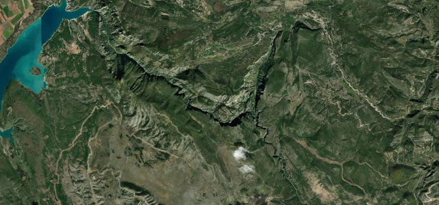
A clifftop balcony loop above the Verdon canyon with fourteen suspended viewpoints.
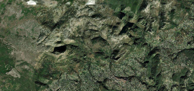
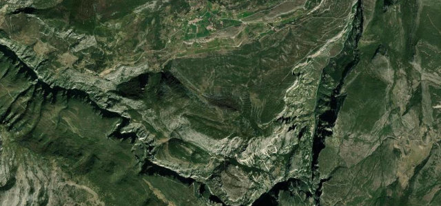
The D23 makes a loop out of La Palud-sur-Verdon and runs along the very lip of the Grand Canyon du Verdon, with fourteen marked belvederes peering straight down into a gorge that drops more than 600 metres. Part of the central section is one-way, and the road is often too narrow for two cars to pass comfortably, with rock overhangs and no guardrail in places. The driving is slow and the views are the point. Mind the sheer unfenced drops, the one-way clockwise section, and vultures and walkers near the viewpoints.
Where it runs10.4 mi · loop
Navigate to the start: Apple Maps · Google Maps
Character
Corners
busiest around mile 1Elevation
approximateunder 4%4–8%over 8%748.5 – 1,327 mFrom the road
Points of interest3 stops
- Belvédère de l’ImbutViewpoint2.7 mi in
- Belvédère du Pas de BauViewpoint8.6 mi in
- Belvédère Des MalinesViewpoint4.4 mi in
Hazards
- Sheer unguarded canyon drops
- One-way narrow sections
- Pedestrians at busy belvederes
Sources
“It's a hair-raising drive with a sheer vertical drop of more than 2,300 feet, in many places too narrow for two-way traffic, with craggy rock overhangs, blind curves and hairpin turns, and thrillingly, no guardrail.”
Verified route: mapped from real road geometry and fact-checked by a human editor. How roads get checked
Driving the Route des Crêtes du Verdon: quick answers
How long does it take to drive the Route des Crêtes du Verdon?
How difficult is the Route des Crêtes du Verdon to drive?
When is the best time to drive the Route des Crêtes du Verdon?
Nearby roads
The closest great drives to Route des Crêtes du Verdon.