Piedmont · Italy
Colle della Maddalena
SS21Vinadio to Argentera
A quiet, sweeping pass to the French border.
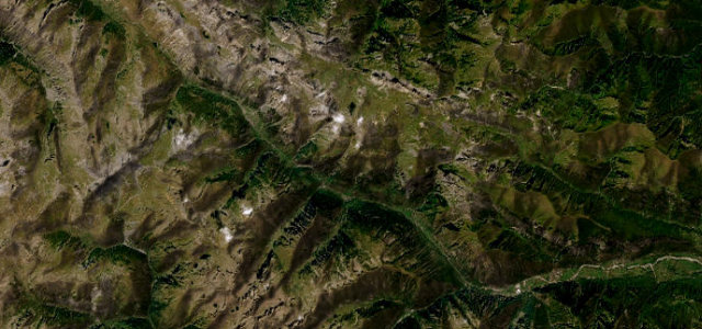
The SS21 over the Colle della Maddalena (Col de Larche) at 1,996 m links the Stura valley in Piedmont with the Ubaye in France, a wide, lightly-travelled high pass through open mountain. Fast and scenic; watch for livestock on the open road, cyclists, and snow outside summer.
Where it runs19.6 mi · point to point
VinadioStart · Piedmont
ArgenteraEnd · Piedmont
Navigate to the start: Apple Maps · Google Maps
Character
Corners32bends
Tightness5of 10
Max gradient8%≈ 1-in-13
Hairpins19tight bends
Climb1,108 mtotal ascent
Summit1,989.3 mhighest point of the line · 6,527 ft
Corners
busiest around mile 18Elevation
under 4%4–8%over 8%889.6 – 1,989.3 mFrom the road
Points of interest2 stops
- Posto Tappa GTAFood and drink9.8 mi in
- Sacro CuoreLandmark14 mi in
Hazards
- Livestock on the open road
- Cyclists on the climb
- Exposed at altitude
Sources
“The drive is pretty challenging, with 16 sharp hairpin turns.”
Verified route: mapped from real road geometry and fact-checked by a human editor. How roads get checked
Driving the Colle della Maddalena: quick answers
How long does it take to drive the Colle della Maddalena?
Colle della Maddalena runs 19.6 miles (32 km) and takes about 39 min to drive without stops.
How difficult is the Colle della Maddalena to drive?
We rate it demanding: 32 corners including 19 hairpins, a maximum gradient of 8%, and a tightness of 5 out of 10.
When is the best time to drive the Colle della Maddalena?
Summer and Autumn are best.
Nearby roads
The closest great drives to Colle della Maddalena.
Colle della Maddalena
DirectionsGet the app