Piedmont · Italy
Colle Fauniera
SP268SP112SP333Demonte to Pradleves
Rough, narrow and gloriously empty at around 2,500 m, a summer-only crossing of bare summits between the Stura and Grana valleys with no barriers to speak of.
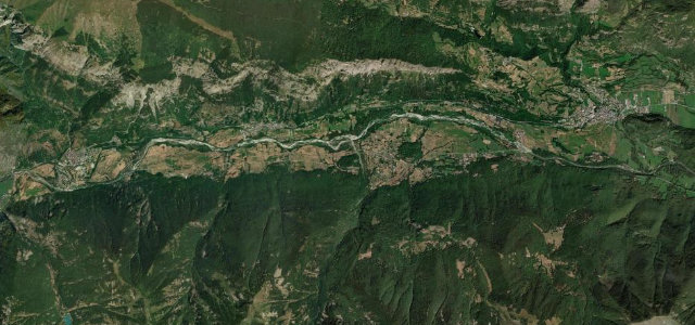
The SP337 over the Colle Fauniera climbs to around 2,500 m between the Stura and Grana valleys in the Italian Cottian Alps, a rough, narrow and gloriously empty road over bare summits. Open only in summer; mind the broken surface, the lack of barriers, and the remoteness.
Scenery
Mountain
Best seasons
Summer
In these collections
In these guides
Where it runs26.8 mi · point to point
DemonteStart · Piedmont
PradlevesEnd · Piedmont
Navigate to the start: Apple Maps · Google Maps
Character
Corners40bends
Tightness7of 10
Max gradient11%≈ 1-in-9
Hairpins25tight bends
Climb1,767 mtotal ascent
Summit2,487 mhighest point of the line · 8,159 ft
Corners
busiest around mile 13Elevation
under 4%4–8%over 8%789.5 – 2,487 mFrom the road
Points of interest4 stops
- Marco Pantani MemorialLandmark15 mi in
- Santuario di San MagnoLandmark20 mi in
- Rifugio FaunieraFood and drink16 mi in
- Sedia GiganteViewpoint10 mi in
Hazards
- Rough, broken surface
- No barriers over drops
- Remote with little traffic
Sources
“It's said to be the most alluring and unspoiled pass around 2,500 meters in the Alps”
Verified route: mapped from real road geometry and fact-checked by a human editor. How roads get checked
Driving the Colle Fauniera: quick answers
How long does it take to drive the Colle Fauniera?
Colle Fauniera runs 26.8 miles (43 km) and takes about 59 min to drive without stops.
How difficult is the Colle Fauniera to drive?
We rate it demanding: 40 corners including 25 hairpins, a maximum gradient of 11%, and a tightness of 7 out of 10.
When is the best time to drive the Colle Fauniera?
Summer is best.
Nearby roads
The closest great drives to Colle Fauniera.
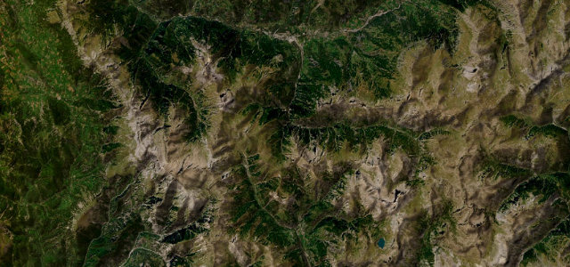
Colle Fauniera
DirectionsGet the app