England · United Kingdom
Buttertubs Pass
Hawes to Muker
A quiet single-track climb between two of the Yorkshire Dales, past its namesake potholes.
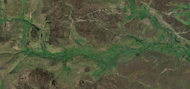
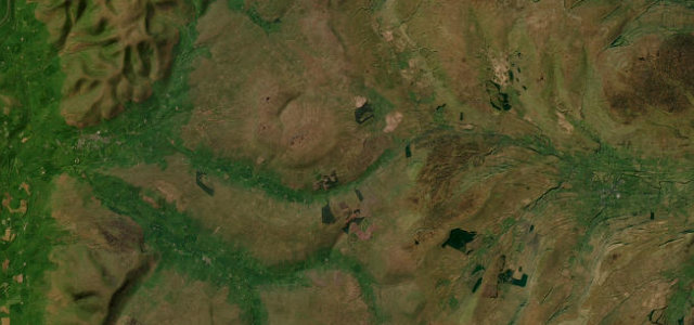
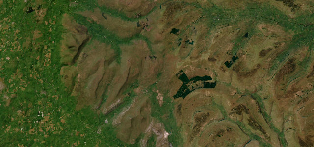
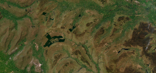
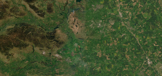
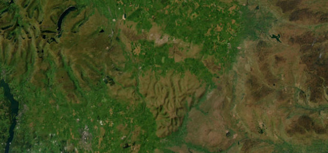
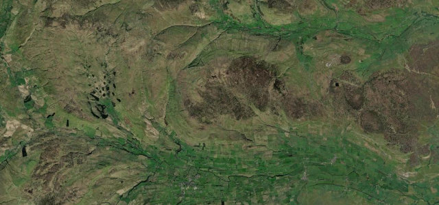
The Buttertubs Pass carries a narrow lane from Wensleydale over to Swaledale, taking its name from the deep limestone shafts beside the road near the summit. It is a narrow two-way moorland road, steep in parts and gloriously remote, with the Dales opening out at the top. Give way cheerfully, mind the livestock, and stop to peer carefully into the buttertubs themselves.
The rare road we turn around and drive straight back over, just to have it twice. If a friend had one morning in Yorkshire, this is where we’d send them.
Why we picked it
Scenery
Best seasons
Featured in
In these collections
In these guides
Where it runs7.8 mi · point to point
Navigate to the start: Apple Maps · Google Maps
Character
Steeper than 9 in 10 roads here in the catalogue.
Corners
busiest around mile 6Elevation
under 4%4–8%over 8%229.9 – 527.8 mPoints of interest2 stops
- ButtertubsDeep limestone potholes beside the road.4.5 mi in
- Scar House ForceLandmark6.5 mi in
Hazards
- Single-track with passing places
- Steep drops
- Livestock on the road
Sources
“It has everything you need for an amazing driving experience: steep climbs, rapid descents, tight challenging corners, and dramatic scenery.”
Verified route: mapped from real road geometry and fact-checked by a human editor. How roads get checked
Driving the Buttertubs Pass: quick answers
How long does it take to drive the Buttertubs Pass?
How difficult is the Buttertubs Pass to drive?
When is the best time to drive the Buttertubs Pass?
Nearby roads
The closest great drives to Buttertubs Pass.