North Yorkshire · United Kingdom
Fleet Moss
Hawes to Kettlewell
The highest surfaced road in the Yorkshire Dales, an unclassified switchback over Fleet Moss linking Wensleydale at Hawes with upper Wharfedale at Kettlewell.
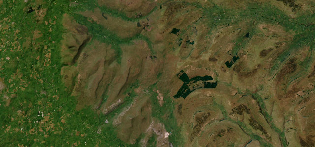
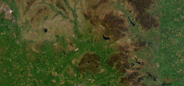
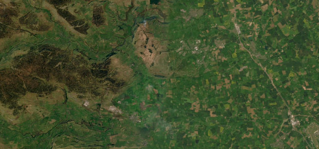
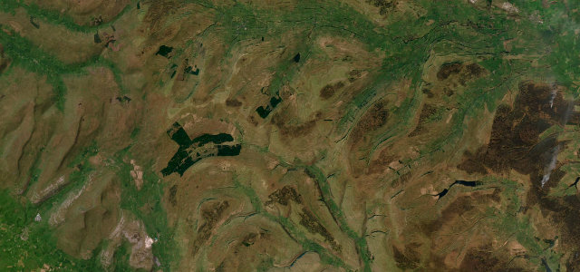
The road over Fleet Moss is the highest tarmac in Yorkshire, cresting near 1,930 ft on the wild watershed dividing Wensleydale from Wharfedale. From Gayle, just above Hawes, an unclassified single-track lane claws up onto the peat moss in steep ramps, levels across a bleak summit plateau, then drops via Oughtershaw and along Langstrothdale beside the young River Wharfe, finally running down through Buckden and the floor of upper Wharfedale into Kettlewell. It is narrow, unclassified and unforgiving, with gradients to 1-in-5, blind brows and grass up the centre, beloved of cyclists for exactly that reason. Mind the steep 20 percent pitches near the Fleet Moss summit, single-track blind summits where you must yield, and fog, ice and snow that bury the high moss for much of winter.
Scenery
Best seasons
In these collections
In these guides
Where it runs15.1 mi · point to point
Navigate to the start: Apple Maps · Google Maps
Character
Steeper than 9 in 10 roads here in the catalogue.
Corners
busiest around mile 1Elevation
under 4%4–8%over 8%206.7 – 588.3 mPoints of interest3 stops
- Wensleydale CreameryLandmarkat the start
- Gayle MillLandmarkat the start
- Dales Countryside MuseumLandmarkat the start
Hazards
- Steep gradients up to 1-in-5 on the Gayle climb
- Single-track blind summits, must yield
- Fog, ice and snow on the high moss
Sources
“The pass regularly features in the best rides sections of newspapers and cycling magazines.”
Verified route: mapped from real road geometry and fact-checked by a human editor. How roads get checked
Driving the Fleet Moss: quick answers
How long does it take to drive the Fleet Moss?
How difficult is the Fleet Moss to drive?
When is the best time to drive the Fleet Moss?
Nearby roads
The closest great drives to Fleet Moss.