England · United Kingdom
Wensleydale to Richmond
A6108Leyburn to Richmond
A flowing dales road from Leyburn to Richmond via Wensleydale and Swaledale.
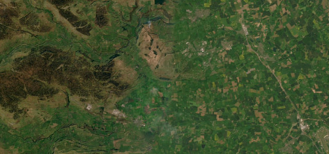
The A6108 runs from Leyburn to Richmond, climbing out of Wensleydale over Bellerby Moor before dropping through quiet Downholme into lower Swaledale. It is a flowing dales road between drystone walls, crossing the Swale at Lownethwaite Bridge west of Richmond; mind the market towns and the visitor traffic.
Where it runs11.2 mi · point to point
LeyburnStart · England
RichmondEnd · England
Navigate to the start: Apple Maps · Google Maps
Character
Corners14bends
Tightness4of 10
Max gradient7%≈ 1-in-14
Descent227 mtotal descent
Summit258.5 mhighest point of the line · 848 ft
Corners
busiest around mile 4Elevation
under 4%4–8%over 8%111.8 – 258.5 mPoints of interest2 stops
- Richmond War MemorialLandmark11 mi in
- Richmond FallsLandmark11 mi in
Hazards
- Busy market towns
- Farm traffic
- Cyclists
Sources
“This short and challenging blast of a road needs your full concentration.”
Verified route: mapped from real road geometry and fact-checked by a human editor. How roads get checked
Driving the Wensleydale to Richmond: quick answers
How long does it take to drive the Wensleydale to Richmond?
Wensleydale to Richmond runs 11.2 miles (18 km) and takes about 21 min to drive without stops.
How difficult is the Wensleydale to Richmond to drive?
We rate it moderate: 14 corners, a maximum gradient of 7%, and a tightness of 4 out of 10.
When is the best time to drive the Wensleydale to Richmond?
Spring and Summer and Autumn are best.
Nearby roads
The closest great drives to Wensleydale to Richmond.
Wensleydale to Richmond
DirectionsGet the app