England · United Kingdom
Ribblehead
B6255Hawes to Thornton in Lonsdale
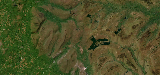
A wild Dales road past the great Ribblehead Viaduct under the Three Peaks.
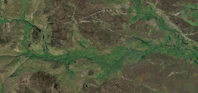
The B6255 runs between Hawes and Ingleton past the soaring arches of the Ribblehead Viaduct, beneath Whernside and Ingleborough. It is open and exposed across high moorland, with walkers and parked cars at the viaduct; take it gently.
Where it runs16.1 mi · point to point
HawesStart · England
Thornton in LonsdaleEnd · England
Navigate to the start: Apple Maps · Google Maps
Character
Corners14bends
Tightness4of 10
Max gradient8%≈ 1-in-13
Descent409 mtotal descent
Summit437.8 mhighest point of the line · 1,436 ft
Corners
busiest around mile 16Elevation
under 4%4–8%over 8%132.8 – 437.8 mPoints of interest3 stops
- Pike HillViewpointat the start
- Sandy HillViewpoint10.0 mi in
- Ingleton War MemorialLandmark16 mi in
Hazards
- Open moorland with livestock
- Parked cars at the viaduct
- Exposed weather
Sources
“This, quite simply, is a joyous stretch of tarmac. Fast and flowing one minute, hard on the brakes the next, the B6255 is a rare road that'll entertain equally well in any car, from a warm hatch to a full blown supercar.”
Verified route: mapped from real road geometry and fact-checked by a human editor. How roads get checked
Driving the Ribblehead: quick answers
How long does it take to drive the Ribblehead?
Ribblehead runs 16.1 miles (26 km) and takes about 31 min to drive without stops.
How difficult is the Ribblehead to drive?
We rate it moderate: 14 corners, a maximum gradient of 8%, and a tightness of 4 out of 10.
When is the best time to drive the Ribblehead?
Spring and Summer and Autumn are best.
Nearby roads
The closest great drives to Ribblehead.
Ribblehead
DirectionsGet the app