England · United Kingdom
Kirkby Stephen Road
A685Kendal to Church Brough
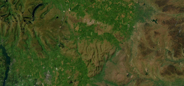
Twenty-six easy miles in the gap between the Lakeland fells and the Howgills, linking Kendal to Brough through Tebay and Kirkby Stephen.
The A685 links Kendal with Brough via Tebay and Kirkby Stephen, a relaxed road through the gap between the Lakeland fells and the Howgills. It is gentle but rural, with farm traffic and small towns; an easy, scenic connector.
Where it runs26.4 mi · point to point
KendalStart · England
Church BroughEnd · England
Navigate to the start: Apple Maps · Google Maps
Character
Corners18bends
Tightness3of 10
Max gradient7%≈ 1-in-14
Climb616 mtotal ascent
Summit358.6 mhighest point of the line · 1,177 ft
Corners
busiest around mile 11Elevation
under 4%4–8%over 8%46.4 – 358.6 mPoints of interest3 stops
- Kirkby Stephen War MemorialLandmark23 mi in
- Park HillViewpoint18 mi in
- Croglam CastleLandmark22 mi in
Hazards
- Farm traffic
- Narrow village streets
- Cyclists
Sources
“This road (Fairmile road) traverses the open fell above the River Lune for several miles providing memorable views of the Lune Valley.”
Verified route: mapped from real road geometry and fact-checked by a human editor. How roads get checked
Driving the Kirkby Stephen Road: quick answers
How long does it take to drive the Kirkby Stephen Road?
Kirkby Stephen Road runs 26.4 miles (42 km) and takes about 48 min to drive without stops.
How difficult is the Kirkby Stephen Road to drive?
We rate it moderate: 18 corners, a maximum gradient of 7%, and a tightness of 3 out of 10.
When is the best time to drive the Kirkby Stephen Road?
Spring and Summer and Autumn are best.
Nearby roads
The closest great drives to Kirkby Stephen Road.
Kirkby Stephen Road
DirectionsGet the app