England · United Kingdom
Stainmore
A66Eamont Bridge to Church Brough
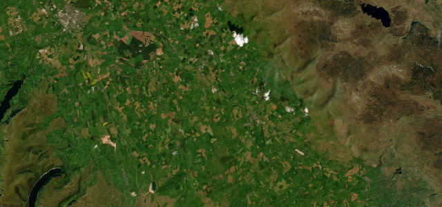
The exposed climb over Shap-country moorland, running from Eamont Bridge to Church Brough across the Eden Valley.
The A66 crosses the Pennines over Stainmore between Penrith and Brough, one of the most weather-beaten roads in England, first to close in snow and notorious for crosswinds. It is fast and open; respect the conditions and the wind warnings.
Where it runs20.8 mi · point to point
Eamont BridgeStart · England
Church BroughEnd · England
Navigate to the start: Apple Maps · Google Maps
Character
Corners10bends
Tightness3of 10
Max gradient7%≈ 1-in-14
Climb234 mtotal ascent
Summit182.9 mhighest point of the line · 600 ft
Corners
busiest around mile 17Elevation
under 4%4–8%over 8%98.7 – 182.9 mPoints of interest3 stops
- The Countess PillarLandmark2.0 mi in
- Gale HillViewpoint13 mi in
- Wildboar HillViewpoint17 mi in
Hazards
- Severe crosswinds, high-sided closures
- First to close in snow
- Fast traffic
See the typical season and live conditions for the high passes ›
Sources
“Travelling across the Pennines, the road is extremely challenging in periods of snow or high winds because of its elevation and exposure.”
Verified route: mapped from real road geometry and fact-checked by a human editor. How roads get checked
Driving the Stainmore: quick answers
How long does it take to drive the Stainmore?
Stainmore runs 20.8 miles (33 km) and takes about 38 min to drive without stops.
How difficult is the Stainmore to drive?
We rate it moderate: 10 corners, a maximum gradient of 7%, and a tightness of 3 out of 10.
When is the best time to drive the Stainmore?
Spring and Summer and Autumn are best.
Nearby roads
The closest great drives to Stainmore.
Stainmore
DirectionsGet the app