County Durham · United Kingdom
Yad Moss
B6277Middleton-in-Teesdale to Alston
The highest B-road in Britain, the B6277, climbing from Middleton-in-Teesdale across the bleak North Pennine roof to Alston, England’s highest market town.
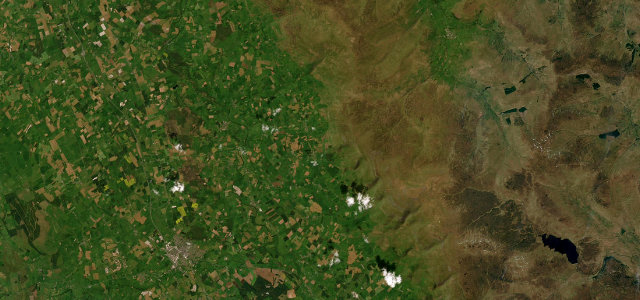
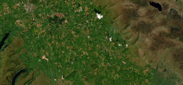
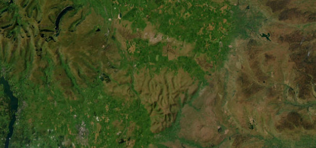
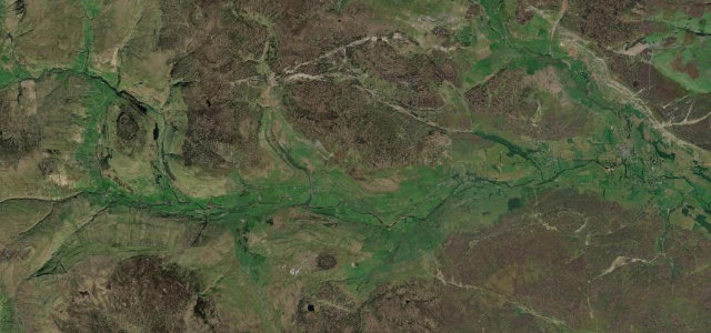
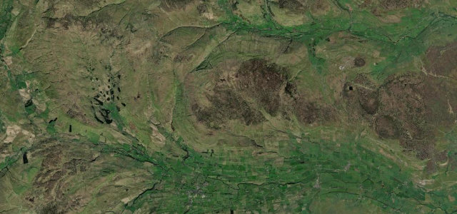
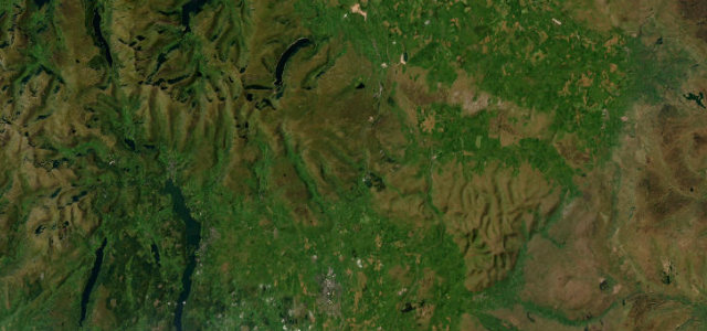
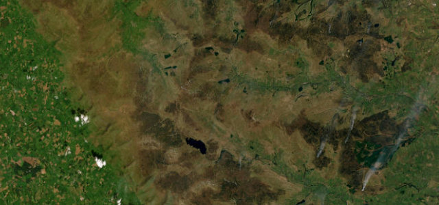
The B6277 is reckoned the highest B-road in Britain, topping out near 1,965 ft as it crosses the empty North Pennines. From Middleton-in-Teesdale it follows the upper Tees past the High Force and Cauldron Snout country, climbs through Langdon Beck and over the watershed at Yad Moss, then descends the South Tyne valley to Alston, often called England’s highest market town. It is a heavily undulating two-lane road with some genuinely steep pitches, fine sightlines and almost no traffic, run through some of the bleakest and most beautiful upland in England. Mind severe dips and crests that hide oncoming vehicles, ice and lying snow on the high watershed even in spring, and sheep straying onto the unfenced moor sections.
Scenery
Best seasons
In these collections
Where it runs21.5 mi · point to point
Navigate to the start: Apple Maps · Google Maps
Character
Corners
busiest around mile 1Elevation
under 4%4–8%over 8%229.7 – 598.9 mPoints of interest3 stops
- Little Middleton Force (Waterfall)Landmark0.2 mi in
- Ashgill ForceLandmark17 mi in
- Low ForceLandmark3.4 mi in
Hazards
- Severe dips and crests hiding oncoming traffic
- Ice and snow on the high watershed
- Sheep on unfenced moor
Sources
“Its speciality is sighted and hugely fast S bends, of the sort that are rarely wedded together for any length or consistency in England. Here they ebb and flow with pitch-perfect regularity.”
Verified route: mapped from real road geometry and fact-checked by a human editor. How roads get checked
Driving the Yad Moss: quick answers
How long does it take to drive the Yad Moss?
How difficult is the Yad Moss to drive?
When is the best time to drive the Yad Moss?
Nearby roads
The closest great drives to Yad Moss.