England · United Kingdom
Hartside Pass
A686Eamont Bridge to Alston
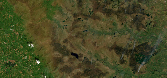
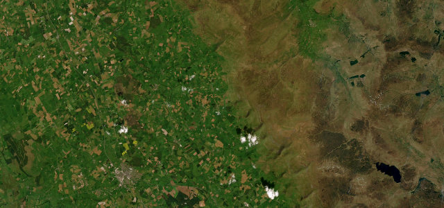
The A686 crosses the North Pennines from Eamont Bridge to Alston, 19 miles that climb onto open moorland. The summit at Hartside Top is exposed, and the weather closes in fast.
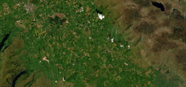
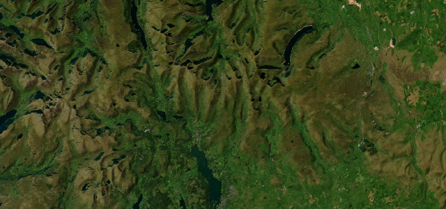
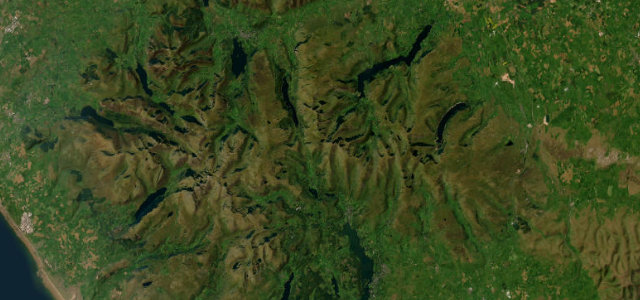
The A686 climbs in long curves to Hartside, one of the finest passes in the North Pennines, with views across the Eden Valley to the Lakeland fells. It is exposed and often cold at the top; ride or drive within the limits on the descent.
The pass we save for people who tell us they’ve driven them all. No one has come home disappointed yet.
Why we picked it
Scenery
Best seasons
In these collections
In these guides
Where it runs19.0 mi · point to point
Navigate to the start: Apple Maps · Google Maps
Character
Corners
busiest around mile 10Elevation
under 4%4–8%over 8%84.7 – 578 mPoints of interest3 stops
- Hartside TopViewpoint13 mi in
- Alston War MemorialLandmark19 mi in
- Meathaw HillViewpoint15 mi in
Hazards
- Exposed summit, weather closes in fast
- Open moorland with livestock
- Cyclists
See the typical season and live conditions for the high passes ›
Sources
“a good mix of corners from fast sweeping bends to tight uphill/downhill hairpins”
Verified route: mapped from real road geometry and fact-checked by a human editor. How roads get checked
Driving the Hartside Pass: quick answers
How long does it take to drive the Hartside Pass?
How difficult is the Hartside Pass to drive?
When is the best time to drive the Hartside Pass?
Nearby roads
The closest great drives to Hartside Pass.