England · United Kingdom
Kirkstone Pass
A592Troutbeck Bridge to Glenridding
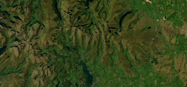
The highest pass open to traffic in the Lake District, between Windermere and Ullswater.
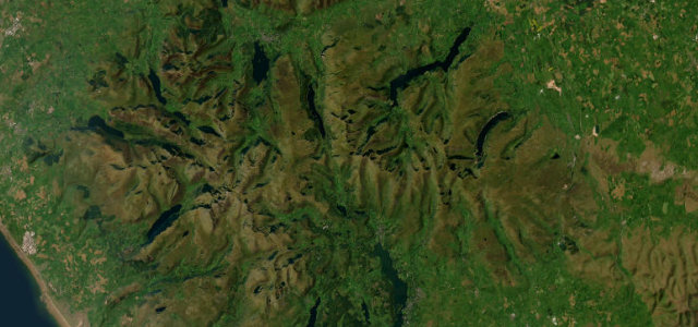
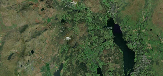
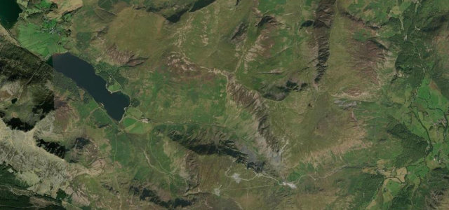
The A592 over Kirkstone is the highest Lakeland pass open to cars, linking Windermere with Patterdale and Ullswater past the old Kirkstone Pass Inn. The 'Struggle' approach is steep; take the hairpins slowly and watch for walkers.
We like it best in foul weather, when the cloud sits low and the whole pass turns brooding. Fair-weather drivers are missing the point.
Why we picked it
Scenery
Best seasons
In these collections
In these Grand Tours
In these guides
Where it runs11.8 mi · point to point
Navigate to the start: Apple Maps · Google Maps
Character
Steeper than 9 in 10 roads here in the catalogue.
Corners
busiest around mile 11Elevation
under 4%4–8%over 8%73.2 – 458.4 mPoints of interest2 stops
- Kirkstone PassViewpoint6.5 mi in
- Gallows HoweViewpoint3.2 mi in
Hazards
- Steep gradients and hairpins
- Walkers and parked cars
- Closes in snow
See the typical season and live conditions for the high passes ›
Sources
“The scenery is fabulous, and the drive offers great views over the Lakeland fells”
Verified route: mapped from real road geometry and fact-checked by a human editor. How roads get checked
Driving the Kirkstone Pass: quick answers
How long does it take to drive the Kirkstone Pass?
How difficult is the Kirkstone Pass to drive?
When is the best time to drive the Kirkstone Pass?
Nearby roads
The closest great drives to Kirkstone Pass.