England · United Kingdom
Honister Pass
B5289Seatoller to Buttermere
A 1-in-4 haul out of Borrowdale past the Honister slate mine, then a low-gear drop beneath the crags to Buttermere.
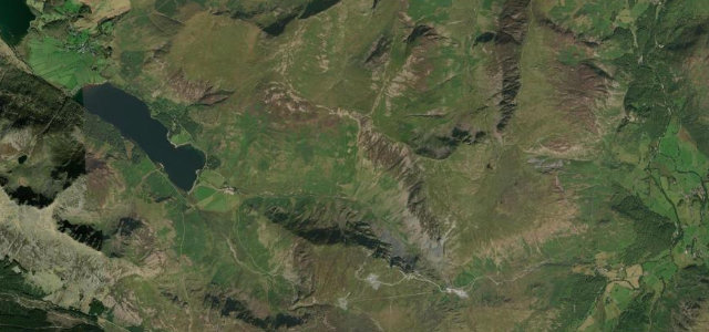
The B5289 climbs from Borrowdale over the dramatic Honister Pass to Buttermere, past the slate mine and beneath the crags. It is narrow and severely steep, gradients to 1-in-4, with tight bends and sheer drops; descend in a low gear and give way with care on the single-track sections.
Scenery
MountainLakes
Best seasons
SpringSummerAutumn
In these collections
In these Grand Tours
In these guides
Where it runs5.7 mi · point to point
SeatollerStart · England
ButtermereEnd · England
Navigate to the start: Apple Maps · Google Maps
Character
Corners28bends
Tightness8of 10
Max gradient25%≈ 1-in-4
Climb291 mtotal ascent
Summit362.7 mhighest point of the line · 1,190 ft
Steeper than 9 in 10 roads here in the catalogue.
Corners
busiest around mile 1Elevation
under 4%4–8%over 8%108 – 362.7 mPoints of interest3 stops
- Honister PassViewpoint1.6 mi in
- Fanny Mercer CrossLandmark3.7 mi in
- The Lone Tree ButtermereLandmark5.3 mi in
Hazards
- 1-in-4 gradients
- Single-track with sheer drops
- Walkers and sheep
Sources
“The road is very steep, hitting a 19.3% maximum gradient through some of the ramps.”
Verified route: mapped from real road geometry and fact-checked by a human editor. How roads get checked
Driving the Honister Pass: quick answers
How long does it take to drive the Honister Pass?
Honister Pass runs 5.7 miles (9.2 km) and takes about 13 min to drive without stops.
How difficult is the Honister Pass to drive?
We rate it expert: 28 corners, a maximum gradient of 25%, and a tightness of 8 out of 10.
When is the best time to drive the Honister Pass?
Spring and Summer and Autumn are best.
Nearby roads
The closest great drives to Honister Pass.
Honister Pass
DirectionsGet the app