Cumbria / Lake District · United Kingdom
Whinlatter Pass
B5292Braithwaite to High Lorton
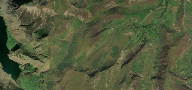
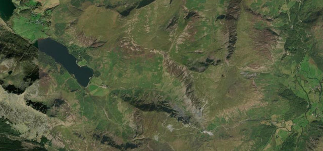
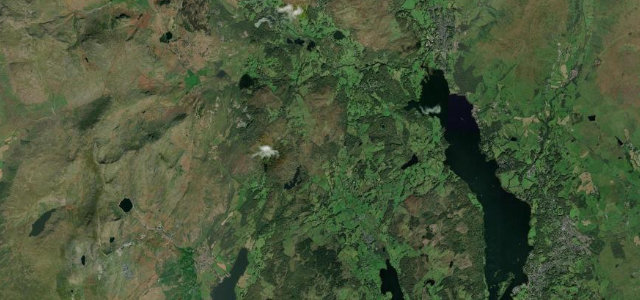
Forested B-road pass between Braithwaite and Lorton with views over Bassenthwaite.
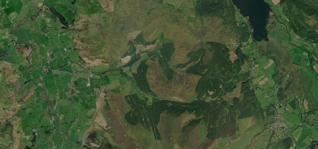
The B5292 climbs Whinlatter Pass from Braithwaite near Keswick up through Thornthwaite Forest to about 337 m before descending to High Lorton. It is one of the few wooded Lakeland passes, with laybys giving views over Bassenthwaite Lake to the Skiddaw range, and a forest visitor centre near the top. Gradients reach around 15 percent. Mind narrow sections where two cars barely pass, slow forest and cycle traffic near the visitor centre, and low sun glare through the trees.
Where it runs6.6 mi · point to point
Navigate to the start: Apple Maps · Google Maps
Character
Corners
busiest around mile 1Elevation
under 4%4–8%over 8%69.2 – 353.4 mPoints of interest2 stops
- Whinlatter PassViewpoint2.2 mi in
- Braithwaite HowViewpoint0.5 mi in
Hazards
- Narrow tree-lined sections
- Cyclists near visitor centre
- Low sun glare
- Gradients around 15 percent
Sources
“It's pretty steep, hitting a 15% of maximum gradient through some of the ramps.”
Verified route: mapped from real road geometry and fact-checked by a human editor. How roads get checked
Driving the Whinlatter Pass: quick answers
How long does it take to drive the Whinlatter Pass?
How difficult is the Whinlatter Pass to drive?
When is the best time to drive the Whinlatter Pass?
Nearby roads
The closest great drives to Whinlatter Pass.