England · United Kingdom
Ambleside to Coniston
A593Ambleside to Coniston
A classic Lake District road between Ambleside and Coniston.
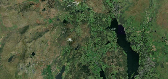
The A593 links Ambleside and Coniston through the heart of the Lake District, past Skelwith and beneath the Langdale fells. Narrow and busy in season but beautiful; watch for walkers, stone walls close to the road, and slow tourist traffic.
Scenery
MountainLakes
Best seasons
SpringSummerAutumn
In these collections
In these Grand Tours
Where it runs7.5 mi · point to point
AmblesideStart · England
ConistonEnd · England
Navigate to the start: Apple Maps · Google Maps
Character
Corners24bends
Tightness5of 10
Max gradient7%≈ 1-in-14
Climb131 mtotal ascent
Summit152.3 mhighest point of the line · 500 ft
Corners
busiest around mile 3Elevation
under 4%4–8%over 8%46.3 – 152.3 mPoints of interest3 stops
- Coniston War MemorialLandmark7.4 mi in
- Ambleside Great War MemorialLandmarkat the start
- Skelwith ForceLandmark2.6 mi in
Hazards
- Walkers and tourist traffic
- Stone walls close to the road
- Narrow in places
See the typical season and live conditions for the high passes ›
Sources
“This is not just any old A road, it's one of the most fun and windy ones”
Verified route: mapped from real road geometry and fact-checked by a human editor. How roads get checked
Driving the Ambleside to Coniston: quick answers
How long does it take to drive the Ambleside to Coniston?
Ambleside to Coniston runs 7.5 miles (12.1 km) and takes about 15 min to drive without stops.
How difficult is the Ambleside to Coniston to drive?
We rate it moderate: 24 corners, a maximum gradient of 7%, and a tightness of 5 out of 10.
When is the best time to drive the Ambleside to Coniston?
Spring and Summer and Autumn are best.
Nearby roads
The closest great drives to Ambleside to Coniston.
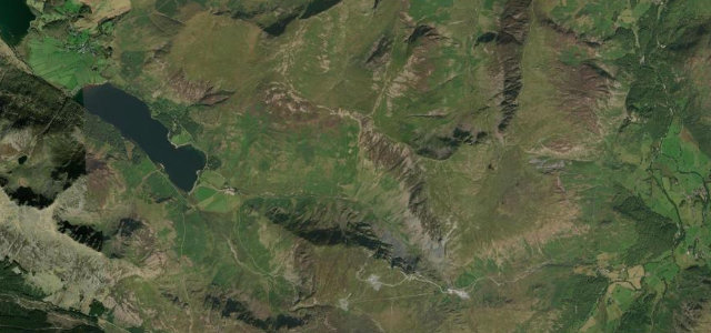
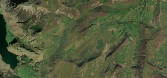
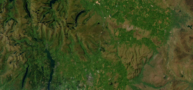
Ambleside to Coniston
DirectionsGet the app