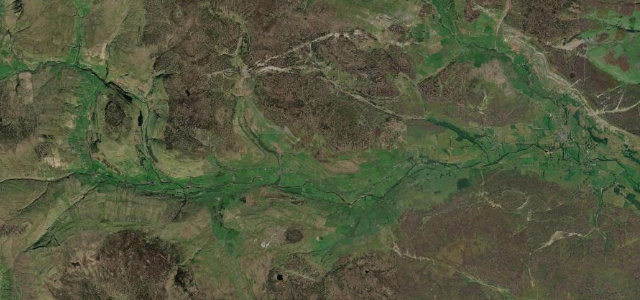
England · United Kingdom
Swaledale
B6270Reeth to Keld
The remote upper dale, the quietest and wildest of the Yorkshire Dales.
The B6270 threads upper Swaledale from Reeth through Muker to Keld, the most secluded of the Dales, between hay meadows and high fells. It is narrow with tight bends and fords nearby; take the villages and the single-track stretches slowly and give way with good grace.
Where it runs11.5 mi · point to point
ReethStart · England
KeldEnd · England
Navigate to the start: Apple Maps · Google Maps
Character
Corners30bends
Tightness5of 10
Max gradient8%≈ 1-in-13
Climb295 mtotal ascent
Summit363.9 mhighest point of the line · 1,194 ft
Corners
busiest around mile 9Elevation
under 4%4–8%over 8%188 – 363.9 mPoints of interest3 stops
- Scar House ForceLandmark9.8 mi in
- How HillViewpoint2.5 mi in
- Aygill ForceLandmark11 mi in
Hazards
- Narrow with tight bends
- Farm traffic and livestock
- Fords after rain
Sources
“Follow the B6270 along Swaledale through classic Dales scenery patchworked with drystone dykes and little barns”
Verified route: mapped from real road geometry and fact-checked by a human editor. How roads get checked
Driving the Swaledale: quick answers
How long does it take to drive the Swaledale?
Swaledale runs 11.5 miles (19 km) and takes about 23 min to drive without stops.
How difficult is the Swaledale to drive?
We rate it moderate: 30 corners, a maximum gradient of 8%, and a tightness of 5 out of 10.
When is the best time to drive the Swaledale?
Spring and Summer and Autumn are best.
Nearby roads
The closest great drives to Swaledale.
Swaledale
DirectionsGet the app