Suðurland / Norðurland vestra (Highland interior) · Iceland
Kjölur Highland Route
F3535Gullfoss / Haukadalur junction to Blönduós
Iceland’s most celebrated highland crossing, threading the Kjölur plateau between two massive ice caps through geothermal hot springs and ancient wilderness.
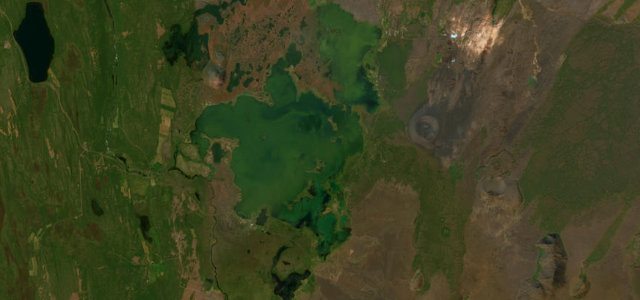
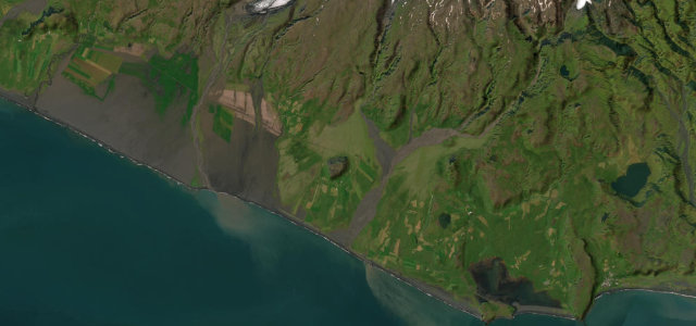
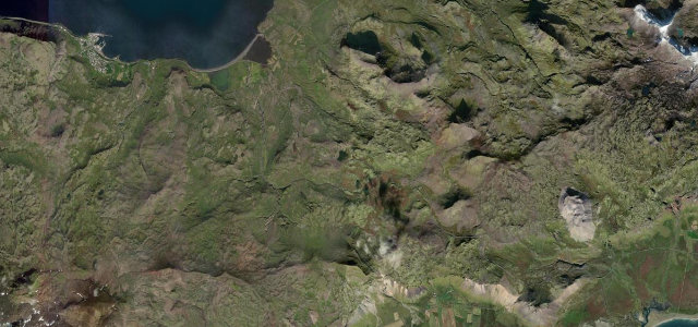
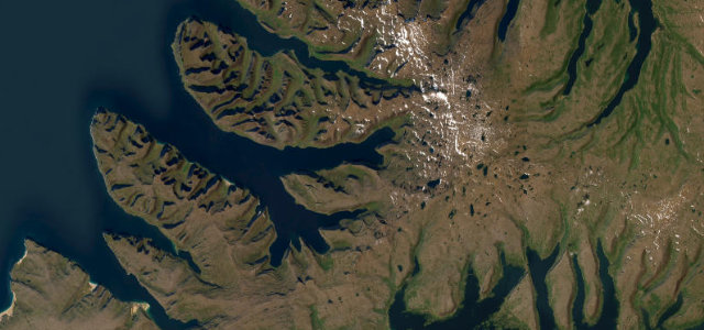
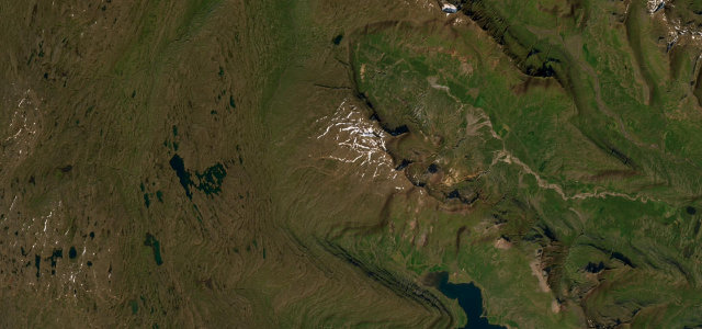
The F35 Kjalvegur runs 168 km through Iceland’s uninhabited central interior, flanked at a distance by the Langjökull glacier to the west and Hofsjökull to the east. The route passes the geothermal oasis of Hveravellir, the colourful rhyolite mountains of Kerlingarfjöll, and the glacier-fed lake Hvítárvatn. River crossings are bridged, making it the most accessible of Iceland’s highland routes, though a 4WD vehicle is legally required and conditions can deteriorate rapidly outside midsummer.
Scenery
Where it runs
Navigate to the start: Apple Maps · Google Maps
Character
Elevation
under 4%4–8%over 8%140 – 661 mHazards
- rough corrugated gravel requiring low speeds
- no fuel or services for the entire route
- rapidly changing weather including snow at any time
- 4WD legally required — do not attempt in a standard car
Sources: Road geometry © OpenStreetMap contributors
Nearby roads
The closest great drives to Kjölur Highland Route.