
 Country guide
The best driving roads in Iceland
9 hand-picked driving roads in Iceland, every one mapped from real geometry and fact-checked, including 1 world icon.
The five to build a trip around
Our ranking, icons first, with the reasoning on the table. All 9 roads follow below.
-
1
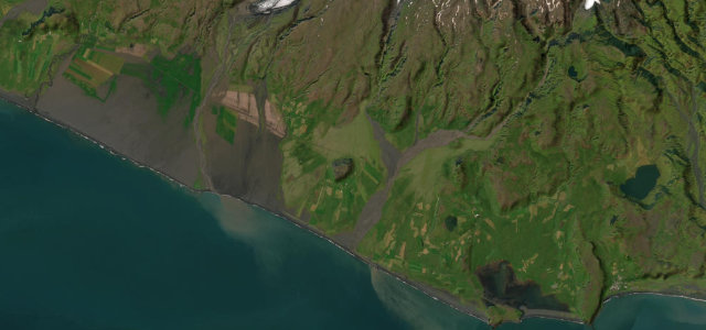 20 mi36 min
South Coast at Vík
Paved Ring Road run past waterfalls to black beaches.
-
2
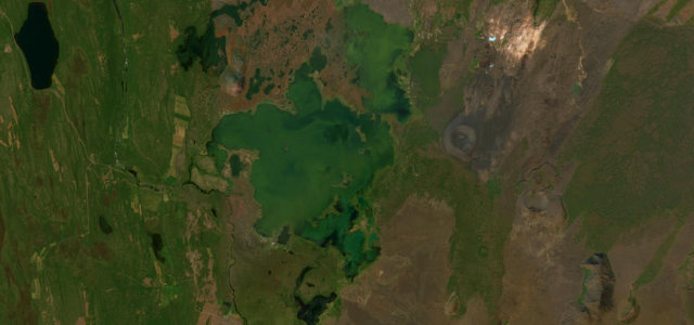 9 mi15 min
Lake Mývatn Loop
Route 848, the paved road running along the southern and eastern shore of volcanic Lake Myvatn, passing pseudo-craters, the Dimmuborgir lava fields and steaming geothermal ground, with the Ring Road closing the loop on the far side.
-
3
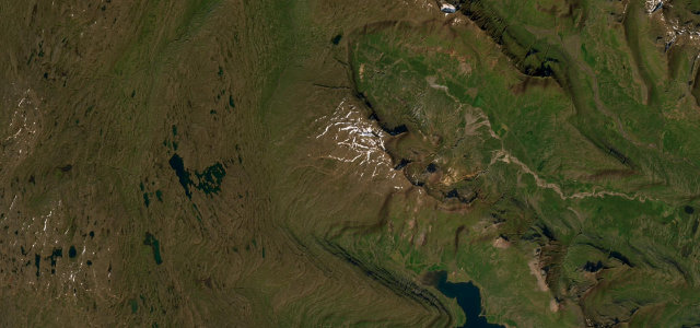 13 mi27 min
Oxi Pass
Route 939, the steep gravel Oxi Pass over the Oxi heath, a white-knuckle shortcut across the mountains in east Iceland.
-
4
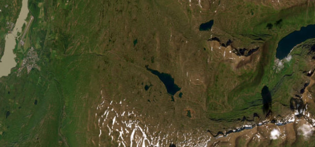 16 mi32 min
Fjardarheidi Pass
Route 93 over the Fjardarheidi mountain pass, switchbacking down past waterfalls into the fjord town of Seydisfjordur in east Iceland.
-
5
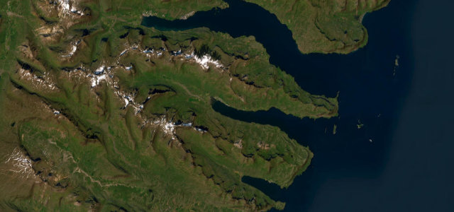 24 mi47 min
East Fjords Coast
Paved Ring Road threading three quiet eastern fjords.
The roads
Lake Mývatn Loop9 mi · 15 min · 25 cornersView the roadbook ›
South Coast at Vík
Oxi Pass
East Fjords Coast
Fjardarheidi Pass
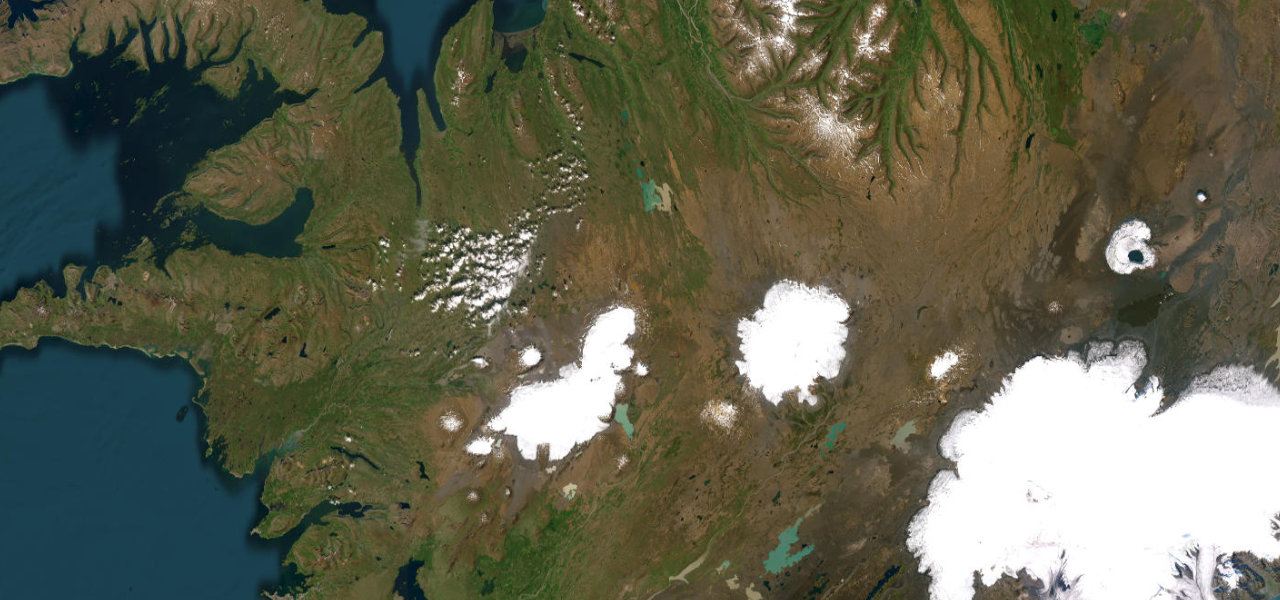
Kjölur Highland Route
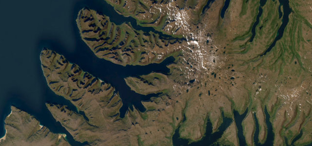
Westfjords Route 60 (Dynjandi)
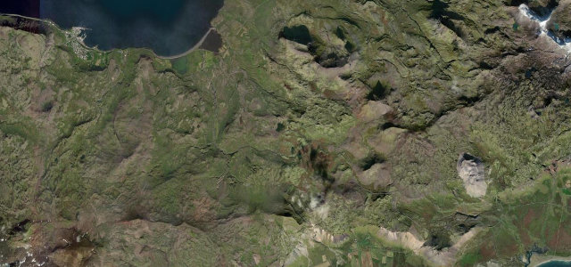
Snæfellsnes Peninsula Coast

 Faroe Islands
 Norway
 Isle of Man