Northeastern Region · Iceland
Lake Mývatn Loop
848Reykjahlíð to Skútustaðir
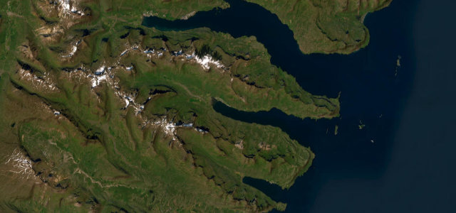
Route 848, the paved road running along the southern and eastern shore of volcanic Lake Myvatn, passing pseudo-craters, the Dimmuborgir lava fields and steaming geothermal ground, with the Ring Road closing the loop on the far side.
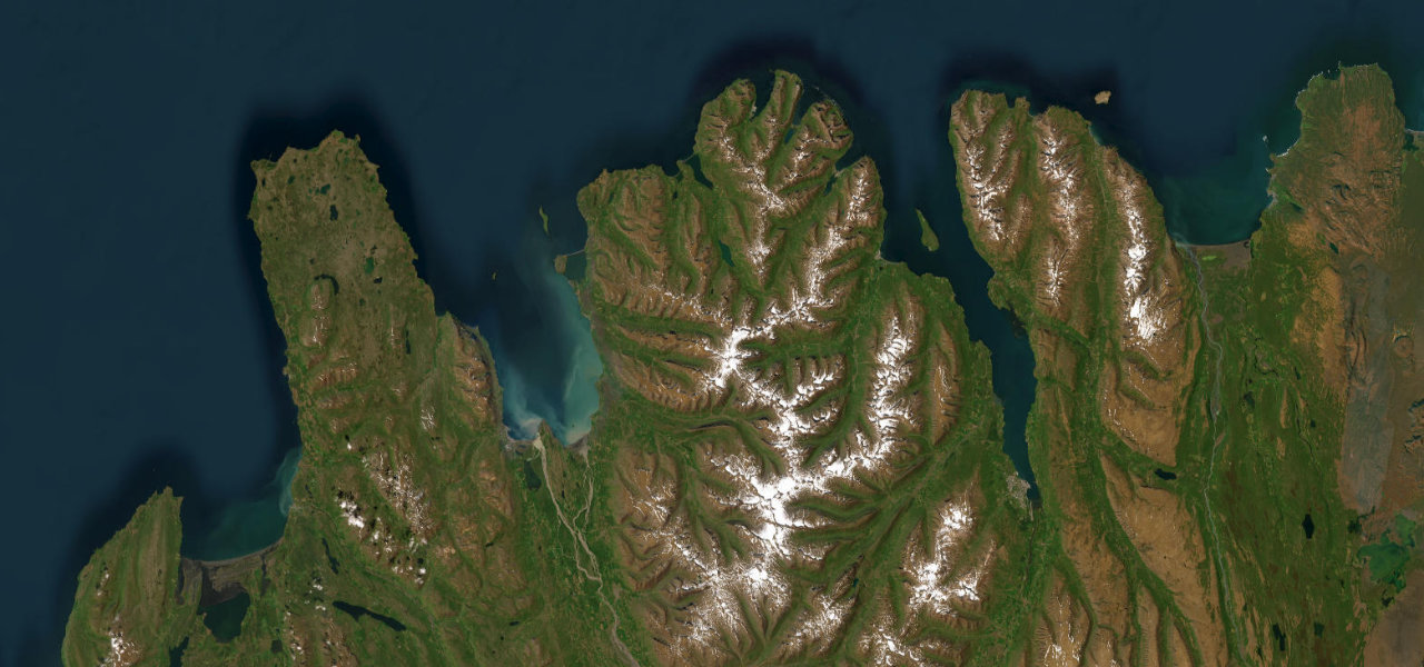
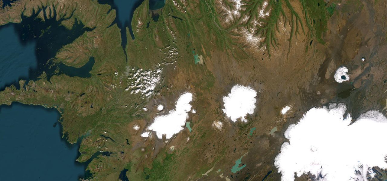
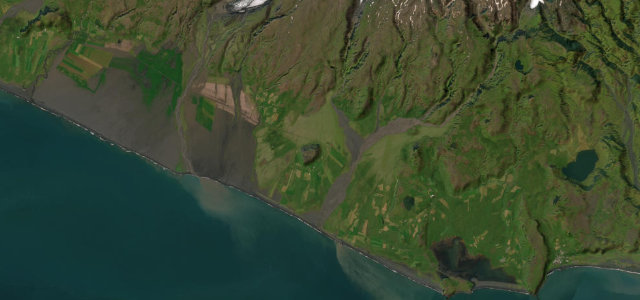
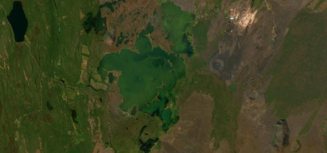
Route 848 follows the southern and eastern shore of Lake Myvatn in north Iceland, one of the most concentrated stretches of volcanic scenery in the country. The full circuit of the lake combines this road with the Ring Road, running from Reykjahlid round past the pseudo-craters at Skutustadir, the twisted lava pillars of Dimmuborgir and the Hverfjall tephra crater, with the Krafla geothermal area and Namaskard mud pots just off the Ring Road nearby. It is easy, gentle driving with frequent stops rather than a spirited road, and midges can be intense around the lake in summer. Winter brings ice and short daylight. Mind sudden stops by sightseeing traffic, cyclists and walkers near the craters, and ice or wind in the colder months.
Scenery
Best seasons
In these collections
In these Grand Tours
In these guides
Where it runs9.1 mi · point to point
Navigate to the start: Apple Maps · Google Maps
Character
Corners
busiest around mile 5Elevation
approximateunder 4%4–8%over 8%267.3 – 354.6 mPoints of interest3 stops
- Hallgrímur og ÓlafíaLandmark1.4 mi in
- RófugerðishóllLandmark9.1 mi in
- KlasarLandmark4.5 mi in
Hazards
- Sudden stops by sightseeing traffic
- Cyclists and walkers near the craters
- Ice and strong wind in colder months
Sources
“There is a sightseeing route around the lake – a 36 km scenic loop filled with viewpoints and amazing natural wonders you can visit.”
Verified route: mapped from real road geometry and fact-checked by a human editor. How roads get checked
Driving the Lake Mývatn Loop: quick answers
How long does it take to drive the Lake Mývatn Loop?
How difficult is the Lake Mývatn Loop to drive?
When is the best time to drive the Lake Mývatn Loop?
Nearby roads
The closest great drives to Lake Mývatn Loop.