Norðurland vestra / Norðurland eystra (North Iceland) · Iceland
Tröllaskagi Peninsula Road
76Varmahlíð to Ólafsfjörður
A paved coastal loop through North Iceland’s dramatic Troll Peninsula, threading narrow fjords, fishing villages, and single-lane mountain tunnels.
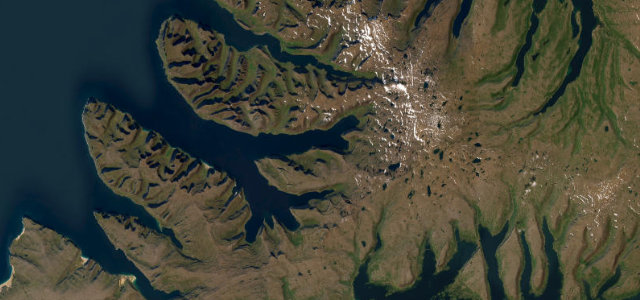
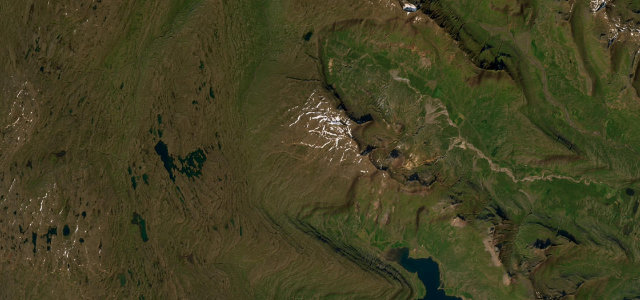
Road 76 (Siglufjarðarvegur) loops around the Tröllaskagi Peninsula from the Ring Road near Varmahlíð to Ólafsfjörður, hugging sea cliffs above Skagafjörður and Siglufjörður. The road passes through the herring-era town of Siglufjörður via a pair of one-way traffic-light tunnels, with jagged mountain peaks rising vertically from the fjord on all sides. No 4WD is needed in summer; the route adds around two hours and 40 minutes of driving compared to staying on Route 1, rewarded by scenery found nowhere else in the country.
Scenery
Where it runs
Navigate to the start: Apple Maps · Google Maps
Character
Elevation
under 4%4–8%over 8%-1 – 98 mHazards
- single-lane tunnels with traffic lights
- almost no guardrails on cliff-edge sections west of Siglufjörður
- winter ice and avalanche risk
- rapidly changing North Iceland weather
See the typical season and live conditions for the high passes ›
Sources: Road geometry © OpenStreetMap contributors
Nearby roads
The closest great drives to Tröllaskagi Peninsula Road.