Westfjords · Iceland
Westfjords Route 60 (Dynjandi)
60Thingeyri to Flokalundur
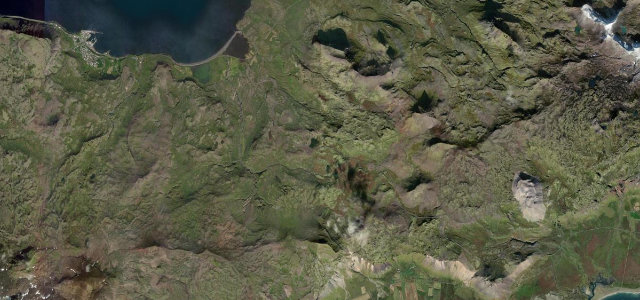
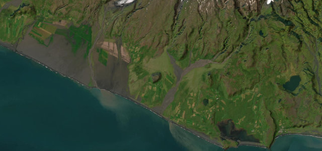
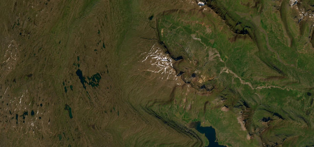
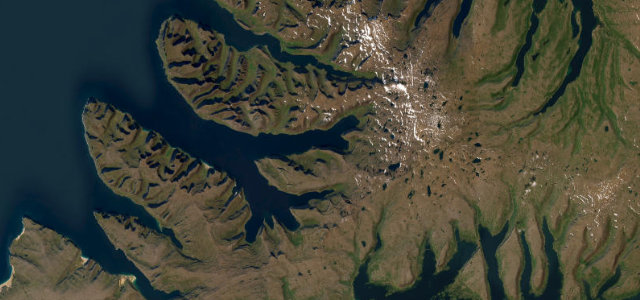
The spine of the Icelandic Westfjords, over Dynjandisheidi at around 500 m and down past the tiered falls of Dynjandi between Thingeyri and Flokalundur. New paving keeps replacing the old gravel; it hasn’t won yet.
Vestfjardavegur (Route 60) is the spine of the Icelandic Westfjords, and this stretch from Thingeyri south to Flokalundur climbs over the Dynjandisheidi pass at around 500 m and drops past Dynjandi, the tiered jewel-of-the-Westfjords waterfall. It blends deep fjord shorelines, steep mountainsides and bare upland heath, with newer tunnels and paving steadily replacing the old gravel. Some sections remain gravel and the high pass can hold snow and fog into early summer. Mind the remaining gravel and washboard stretches, snow and fog on Dynjandisheidi, and single-lane bridges and blind crests.
Scenery
Best seasons
In these collections
In these Grand Tours
In these guides
Where it runs35.0 mi · point to point
Navigate to the start: Apple Maps · Google Maps
Character
Corners
busiest around mile 20Elevation
under 4%4–8%over 8%2.2 – 571.8 mPoints of interest3 stops
- HelluskarðViewpoint30 mi in
- Og nefndu landið ÍslandLandmark35 mi in
- PennugilLandmark34 mi in
Hazards
- Gravel and washboard stretches
- Snow and fog on the Dynjandisheidi pass
- Single-lane bridges and blind crests
Sources
“Driving Westfjords Route 60 isn't just about getting from point A to point B—it's about immersing yourself in one of Iceland's most remote and breathtaking regions.”
Verified route: mapped from real road geometry and fact-checked by a human editor. How roads get checked
Driving the Westfjords Route 60 (Dynjandi): quick answers
How long does it take to drive the Westfjords Route 60 (Dynjandi)?
How difficult is the Westfjords Route 60 (Dynjandi) to drive?
When is the best time to drive the Westfjords Route 60 (Dynjandi)?
Is the Westfjords Route 60 (Dynjandi) fully paved?
Nearby roads
The closest great drives to Westfjords Route 60 (Dynjandi).